What is recorded here
Situated on relatively low ground with limited views. There is a knoll immediately to the NE and a second one c. 100m to the E. A circular grass-covered platform (diam. 17.3m N-S; 16.8m E-W) is surrounded by a clearly visible U-shaped fosse (Wth of top c. 9m; Wth at base 3m; max. D c. 1m) except E-SSW where there is evidence for quarrying.
Compiled by: Claire Breen & Michael Moore
Date of revised upload: 26 February 2019
A circular ditch barrow, likely dating to the Early Bronze Age. Its grass-covered platform and surrounding ditch suggest a funerary or ceremonial function typical of burial monuments from this period.
The monument record does not grant public access. Check the route and ask the landowner before entering private land.
- What survives
- Recorded monument
Places near here
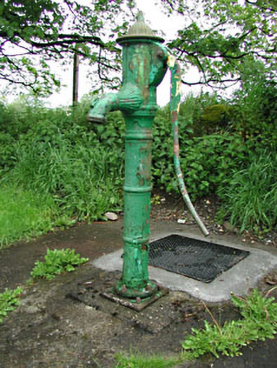 water pumpwater pump · 190 yd
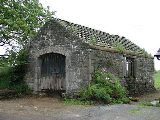 forge/smithyforge/smithy · 199 yd
 IndicatedHoly well · 1.1 mi
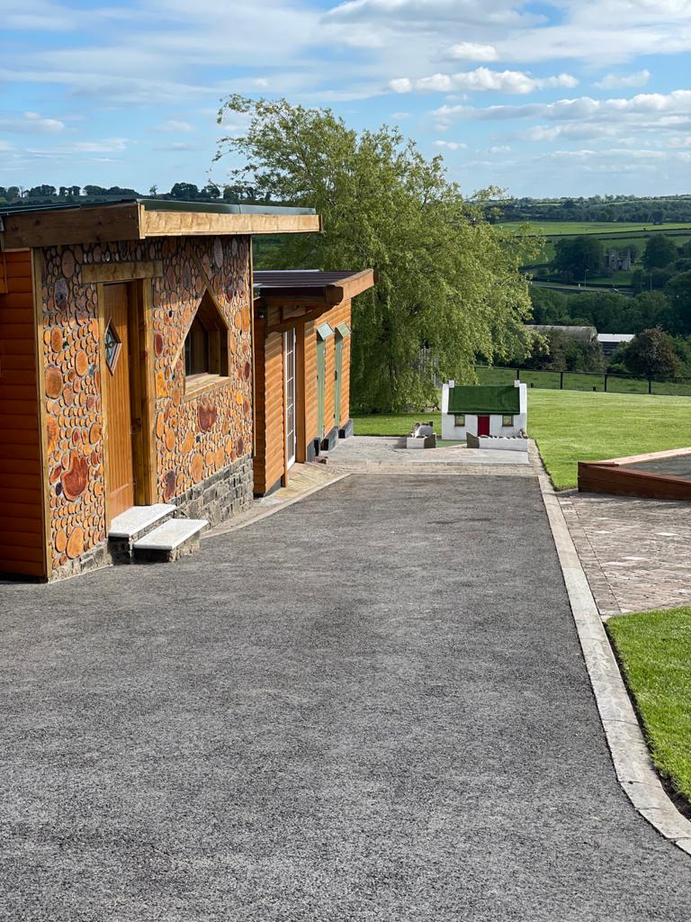 Enclosure in GibbonstownEnclosure · 1.2 mi
 Largan WoodWood · 1.4 mi
 Moat of DiamorCastle, motte and bailey · 1.5 mi
 Round TowerCastle, tower house · 2.3 mi
 Ballyhist WoodWood · 2.7 mi
 Oliver Plunkett memorialMemorial · 3.2 mi
 Kells HillMountain / peak · 3.4 mi
 Slieve Na CalliaghMountain / peak · 3.6 mi
 Loughcrew Megalithic TombsHeritage attraction · 3.6 mi