What is recorded here
Situated on a fairly level landscape. St. Kevin’s Well, which was restored in 1990, is across the road to the SW of the site of St. Caomhán's early church that became the medieval parish church of Diamor (ME015-056001-). It is a D-shaped corbelled structure (dims 1.15m x 0.9m; H 1.2m) c. 1m below the level of the road and it is the origin of a stream that flows off to the SW. Six steps lead down from the road to a cemented area (dims 2.6m NW-SE; 1.15-1.8m NE-SW) over the stream, and there is a young rag tree where the stream emerges from this patio. This is a replacement for an old ash tree that fell in 1971 (Moore and Kenny 1976, 33). The well is said to have cure for warts. No pattern is held at it presently, although the pattern day is 14th September (French 2012, 89).
Situated on a fairly level landscape. St. Kevin’s Well, which was restored in 1990, is across the road to the SW of the site of St. Caomhán's early church that became the medieval parish church of Diamor (ME015-056001-). It is a D-shaped corbelled structure (dims 1.15m x 0.9m; H 1.2m) c. 1m below the level of the road and it is the origin of a stream that flows off to the SW. Six steps lead down from the road to…
From the National Monuments Service (Archaeological Survey of Ireland) record ME015-056011
The monument record does not grant public access. Check the route and ask the landowner before entering private land.
- What survives
- Recorded monument
Places near here
Photo credits
- National Inventory of Architectural Heritage
- Bob Embleton, Geograph · CC BY-SA 2.0
- Bill Griffiths, Wikimedia Commons · CC BY-SA 2.0
- Haydn Hammerton, Wikimedia Commons · CC BY-SA 4.0
- James Fergusson, after E. Conwell, Wikimedia Commons · Public domain
- Willow, Wikimedia Commons · CC BY 2.5
- John M, Wikimedia Commons · CC BY-SA 2.0
- Alvesgaspar, Wikimedia Commons · CC BY-SA 3.0
- Mike Searle, Geograph · CC BY-SA 2.0
MoatFairy fort / earthen ringfort · 1447 yd water pump1.2 miforge/smithy1.2 miEarthen TumulusCastle, motte · 2.1 miOliver Plunkett memorialMemorial · 2.5 miSlieve Na CalliaghMountain / peak · 2.6 miLoughcrew Megalithic TombsHeritage attraction · 2.7 miHag's ChairArchaeological place · 2.7 miEuropean ash3.0 miLoughcrewMegalithic tomb cemetery · 3.0 miCommon Lime3.3 miMoatCastle, motte · 3.4 mi
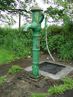 water pump1.2 mi
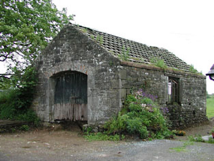 forge/smithy1.2 mi
 Earthen TumulusCastle, motte · 2.1 miOliver Plunkett memorialMemorial · 2.5 mi
 Slieve Na CalliaghMountain / peak · 2.6 mi
 Loughcrew Megalithic TombsHeritage attraction · 2.7 mi
 Hag's ChairArchaeological place · 2.7 mi
 European ash3.0 mi
 LoughcrewMegalithic tomb cemetery · 3.0 mi
 Common Lime3.3 mi
 MoatCastle, motte · 3.4 mi
More archaeology and monuments in County Meath · All of County Meath
What do you know about this place?