What is recorded here
Fairy fort / earthen ringfort in Annesgift is a fairy fort or earthen ringfort in Annesgift, County Tipperary, Ireland. It sits on the edge of a southwest-facing slope above a fast-flowing river about 70 metres to the southwest. The circular fort measures 45.3 metres north-south and 44.4 metres east-west, enclosed by an 8.6-metre-wide bank that rises 0.88 metres internally and 1.86 metres externally. A 2-metre-wide ditch cuts 0.18 to 1.3 metres deep between the inner bank and a thinner outer bank, which is visible only from the south-southwest through west.
On edge of SW-facing slope which falls to a fast flowing river c. 70m SW of ringfort, in gently undulating terrain under pasture, in Annesgift Estate. Circular ringfort (diam. 45.3m N-S; 44.4m E-W) enclosed by a bank (Wth 8.6m; int. H 0.88m; ext. H 1.86m); fosse (Wth 2m; D 0.18-1.3m) and outer bank (Wth 4.1m; ext. H 0.33m) which is only visible from S-SW-W. Fosse is deep where there is an outer bank. Field bank and ditch runs E-W up to the inner bank in the W quadrant, with another field bank running NW-SE into the inner bank in the S quadrant. Gap in inner bank in NW quadrant but is obstructed by a tree and overgrown with brambles.
Compiled by: Jean Farrelly
Date of upload: 26 August 2011
The monument record does not grant public access. Check the route and ask the landowner before entering private land.
- What survives
- Recorded monument
Places near here
 Enclosure in AnnesgiftEnclosure · 253 yd
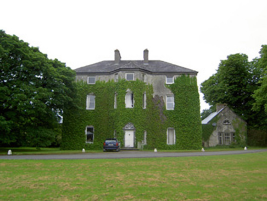 Anne's Giftcountry house · 285 yd
 Derryluskan Househouse · 1135 yd
 IndicatedCastle, motte · 1410 yd
 CastleCastle, ringwork · 1622 yd
 RathavinFairy fort / earthen ringfort · 1.4 mi
 Kilknockan HillMountain / peak · 2.2 mi
 European YewEuropean Yew · 2.3 mi
 East GateMemorial · 2.4 mi
 Grove WoodForest · 3.3 mi
 Ballinure HillMountain / peak · 5.3 mi
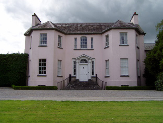 Ardsallagh Housefarmyard complex · 1382 yd