What is recorded here
Gabled remains of church named "Massmount R.C. Church" on OS 6-inch map (1842). T-shaped plan; nave orientated E-W (int. H 13.8m; int. Wth 3.82m; wall thickness 0.65m), with a pair of pointed windows in E wall; lintelled door in W gable. Transepts at E end of nave to N (int. 12.3m x 4.5m) and S (int. 4.5m x 4.5m).
The above description is derived from the published 'Archaeological Inventory of County Cork. Volume 1: West Cork' (Dublin: Stationery Office, 1992). In certain instances the entries have been revised and updated in the light of recent research.
Date of upload/revision: 14 January 2009
The monument record does not grant public access. Check the route and ask the landowner before entering private land.
- What survives
- Recorded monument
Places near here
 Stone CircleHut site · 274 yd
 Mass MountMountain / peak · 507 yd
 Boulder-burial in Cappaleigh NorthBoulder-burial · 1020 yd
 Hungry Hill GalleryGallery · 1553 yd
 Kilcaskan Church (in Ruins)Church · 1732 yd
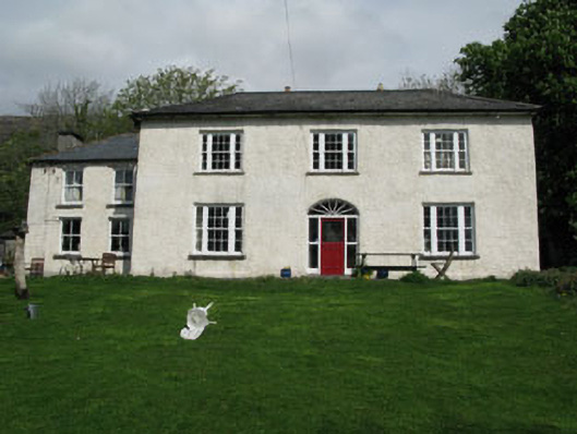 Adrigole Houserectory/glebe/vicarage/curate's house · 1.0 mi
 Graveyard in DrumlaveGraveyard · 1.1 mi
 West Cork Sailing & Powerboating CentreHeritage attraction · 1.1 mi
 Orthon's IslandIslet · 1.3 mi
 Adrigole MountainMountain / peak · 1.6 mi
 Shot HeadHeadland · 2.0 mi
 Mehal HeadHeadland · 2.6 mi