What is recorded here
Five stones circle a low earthen mound on a steep slope above Bantry Bay, leaning west like tired sentinels. The tallest rises two metres beside smaller uprights and prostrate rocks, while two more stand detached further down the hill. Their odd arrangement resists easy explanation, suggesting human hands shaped the slope before the sea fog swallowed the memory of why.
On break in SSW-facing slope overlooking Bantry Bay. Low earthen mound (5.2m N-S; 4.6m E-W) surrounded by five stones. On W side of mound, three upright stones lean heavily; tallest stone (H 2.1m; 1.5m x 0.4m) to N. Two prostrate stones on E side of mound. Two standing stones 3.6m to W of mound; long axes NE-SW (H 1.05m; 0.9m x 0.8m: H 0.8m; 0.5m x 0.42m). (O'Brien 1970, 13).
The above description is derived from the published 'Archaeological Inventory of County Cork. Volume 1: West Cork' (Dublin: Stationery Office, 1992). In certain instances the entries have been revised and updated in the light of recent research.
Date of upload/revision: 14 January 2009
The monument record does not grant public access. Check the route and ask the landowner before entering private land.
- What survives
- Recorded monument
Places near here
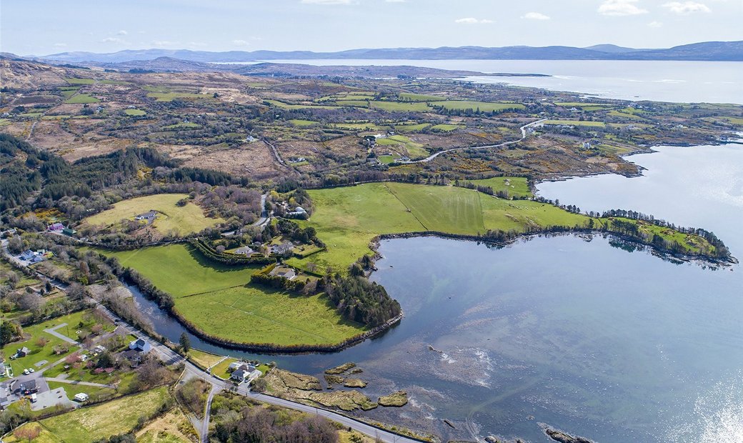 Adrigole Double Ditch FortArchaeological place · 413 yd
 Wedge tomb in BallynahownWedge tomb · 984 yd
 Mass MountMountain / peak · 1256 yd
 RoadRoad, unclassified togher · 1.4 mi
 Nareera South-West TopMountain / peak · 1.5 mi
 Kilcaskan Church (in Ruins)Church · 1.5 mi
 Hungry Hill GalleryGallery · 1.6 mi
 Graveyard in DrumlaveGraveyard · 1.7 mi
 West Cork Sailing & Powerboating CentreHeritage attraction · 1.9 mi
 Shot HeadHeadland · 2.0 mi
 Mehal HeadHeadland · 2.1 mi
 Orthon's IslandIslet · 2.1 mi