
What is recorded here
In centre of graveyard (103-003001-) ruins of parish church. Only heavily overgrown portion of E wall survives; no features noted. Church in ruins by 1615 (Brady 1863, vol. 2, 489).
The above description is derived from the published 'Archaeological Inventory of County Cork. Volume 1: West Cork' (Dublin: Stationery Office, 1992). In certain instances the entries have been revised and updated in the light of recent research.
Date of upload/revision: 14 January 2009
The monument record does not grant public access. Check the route and ask the landowner before entering private land.
- What survives
- Recorded monument
Places near here
 RoadRoad, unclassified togher · 1225 yd
 Field boundary in CanshanavoeField boundary · 1257 yd
 Mass MountMountain / peak · 1546 yd
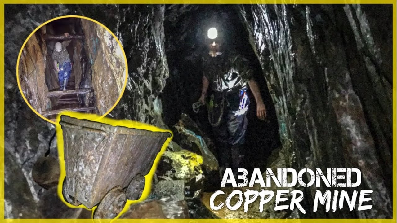 MineMine, copper · 1614 yd
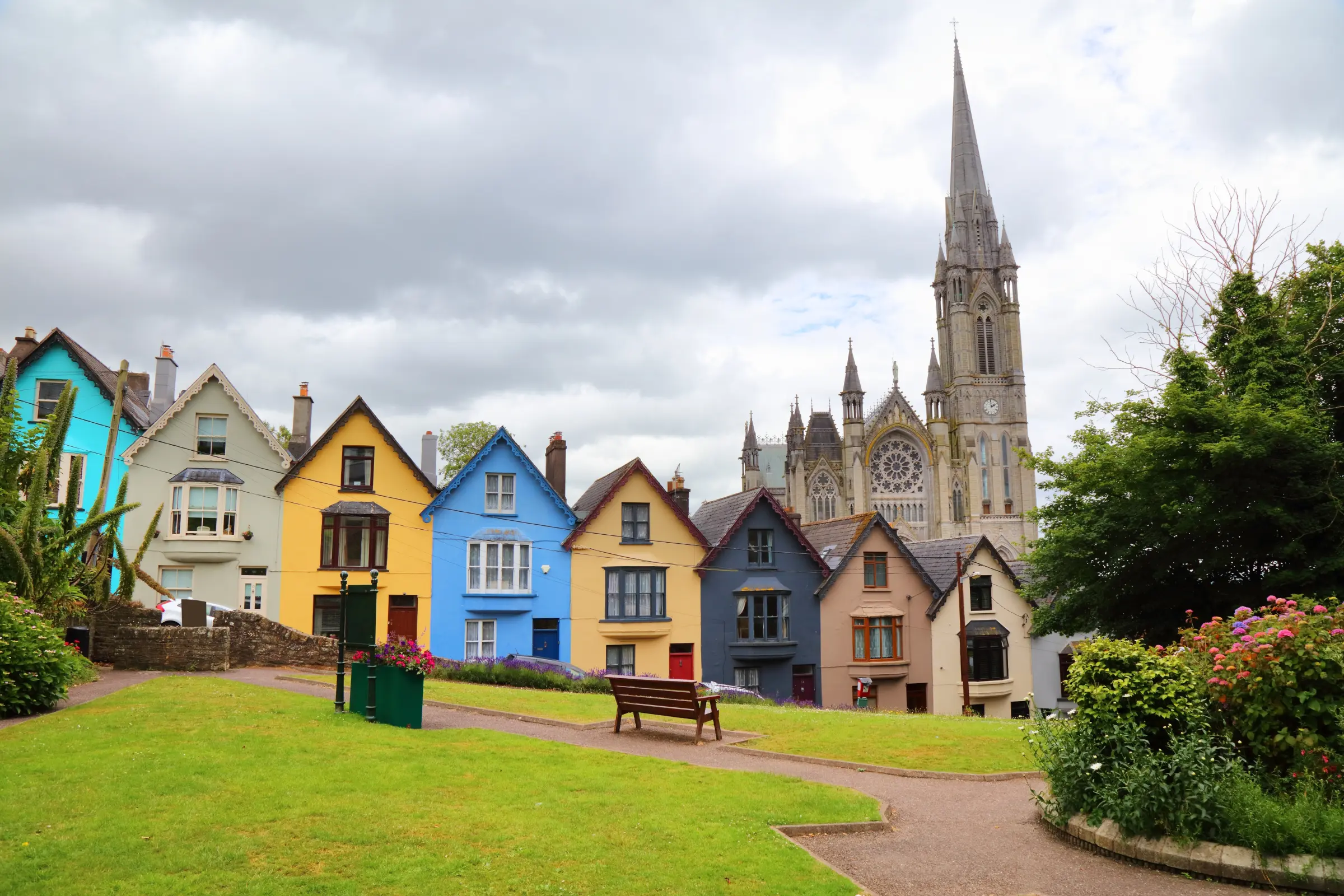 Hut site in CanshanavoeHut site · 1.0 mi
 Knockeirky South TopMountain / peak · 1.2 mi
 Hungry Hill GalleryGallery · 1.6 mi
 West Cork Sailing & Powerboating CentreHeritage attraction · 1.8 mi
 Orthon's IslandIslet · 1.9 mi
 Graveyard in DrumlaveGraveyard · 1.9 mi
 Mare's Tail WaterfallViewpoint · 2.8 mi
 Shot HeadHeadland · 3.0 mi
Other information
Photo: Credit not shown in the picture search · Rights wording not checked; contact us if this picture should be removed