
What is recorded here
In rough pasture, on cutaway bog, c. 35m to the E of a togher (CO103-024001-), on the lower S-facing slopes of Canshanavoe Mountain and overlooking the valley of the Adrigole River to S. Turf-cutting has exposed the remains of a relict stone field boundary (T 0.7m; H 0.3m; L c. 40m N-S) which is set on the underlying mineral soil. Many stones are set at right angles to the line of the pre-bog field boundary and are largely obscured by heather and gorse.
The above description is derived from 'The Archaeological Inventory of County Cork. Volume 5' (Dublin: Stationery Office, 2009).
Date of upload: 22 December 2009
The monument record does not grant public access. Check the route and ask the landowner before entering private land.
- What survives
- Recorded monument
Places near here
 RoadRoad, unclassified togher · 35 yd
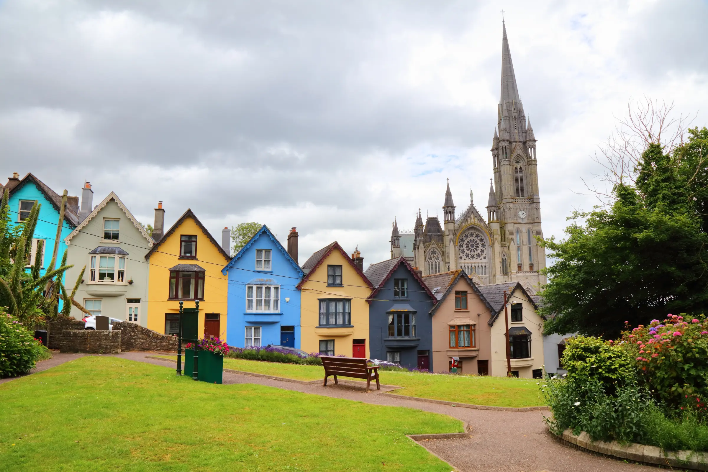 Hut site in CanshanavoeHut site · 520 yd
 Fulacht fia in CanshanavoeFulacht fia · 617 yd
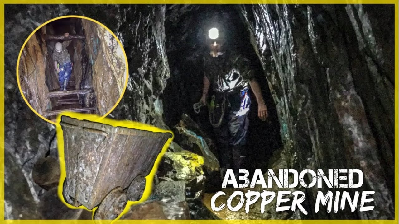 MineMine, copper · 987 yd
 Knockeirky South TopMountain / peak · 1147 yd
 Mass MountMountain / peak · 1.1 mi
 Hungry Hill GalleryGallery · 2.1 mi
 West Cork Sailing & Powerboating CentreHeritage attraction · 2.3 mi
 Graveyard in DrumlaveGraveyard · 2.4 mi
 Orthon's IslandIslet · 2.5 mi
 Shot HeadHeadland · 3.2 mi
 Mehal HeadHeadland · 3.5 mi
Other information
Photo: Credit not shown in the picture search · Rights wording not checked; contact us if this picture should be removed