What is recorded here
Fairy fort in Crooha Middle: a 20-metre stone ring on the lower south slope of Mass Mount, its wall collapsed except a low inner and outer facing at the southwest. The field fences still cut the middle into halves and quarters, as if the fort were a room somebody kept dividing for different uses. In local story, fairies use such rings; in human memory, it is a small strong place where stone, slope and boundary make one lived address.
In rough pasture broken by rock outcrop on lower S-facing slope of Mass Mount. Circular area (20m N-S; 20m E-W) defined by collapsed stone wall S->N, inner and outer facing survives to SW (H 0.6m; Wth 1m); scarp N->S, rough line of stones embedded along top of scarp. Interior level and divided into two halves by N-S field fence; E half divided into two quarters by E-W field fence.
The above description is derived from the published 'Archaeological Inventory of County Cork. Volume 1: West Cork' (Dublin: Stationery Office, 1992). In certain instances the entries have been revised and updated in the light of recent research.
Date of upload/revision: 14 January 2009
The monument record does not grant public access. Check the route and ask the landowner before entering private land.
- What survives
- Recorded monument
Places near here
 Stone CircleHut site · 536 yd
 Mass MountMountain / peak · 635 yd
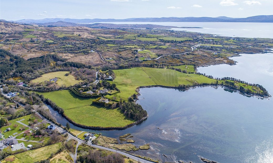 Adrigole Double Ditch FortArchaeological place · 903 yd
 Hungry Hill GalleryGallery · 1603 yd
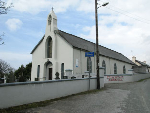 St. Fachtna's Roman Catholic Churchchurch/chapel · 1.1 mi
 Graveyard in DrumlaveGraveyard · 1.1 mi
 West Cork Sailing & Powerboating CentreHeritage attraction · 1.2 mi
 Kilcaskan Church (in Ruins)Church · 1.2 mi
 Orthon's IslandIslet · 1.4 mi
 Adrigole MountainMountain / peak · 1.8 mi
 Shot HeadHeadland · 1.8 mi
 Mehal HeadHeadland · 2.4 mi