
What is recorded here
The following description is derived from the published 'Archaeological Inventory of County Carlow' (Dublin: Stationery Office, 1993). In certain instances the entries have been revised and updated in the light of recent research.
Date of upload/revision: 17 July 2007
Shown on 1908 'OS 6-inch' map as circular area enclosed by bank (max. diam. c. 60m) with raised interior (shown by 300ft contour line). No visible surface traces. Possibly a ringfort.
Aerial photograph (GB89.AH.31) shows cropmark of a circular enclosure defined by two concentric fosses, with an additional, intervening narrow fosse (possibly a palisade trench). The aerial photograph adds considerable additional detail to the morphology of this monument (Barrett 1989). Enclosure also visible as a cropmark on Google Earth (imagery date 14 July 2018).
See attached:
CW013-010----_01 Google Earth image (imagery date 14 July 2018)
Rathtoe is a ringfort, a typical early-medieval hilltop defensive settlement, likely dating to between the 5th and 10th centuries AD. Local folklore, common to many such sites in Ireland, associates it with the mythical Tuatha Dé Danann or with fairy inhabitants, though specific traditions connected to Rathtoe are not well recorded.
The monument record does not grant public access. Check the route and ask the landowner before entering private land.
- What survives
- Recorded monument
Places near here
 Rath MahonFairy fort / earthen ringfort · 714 yd
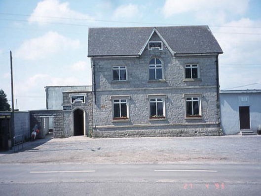 school master's houseschool master's house · 767 yd
 Saint Patrick's Catholic Churchchurch/chapel · 799 yd
 Enclosure in BendinstownEnclosure · 1417 yd
 Kilmurry Church (in ruins), GraveyardChurch · 1.1 mi
 Site of CastleCastle, unclassified · 1.1 mi
 Ballynunnery Castle in ruinsCastle, unclassified · 1.4 mi
 Church (in ruins), GraveyardChurch · 2.5 mi
 Pedunculate OakPedunculate Oak · 3.5 mi
 European ashEuropean ash · 4.2 mi
 Altamont Gardens MapVisitor information · 4.5 mi
 Altamont House and GardensHeritage attraction · 4.6 mi
Other information
Photo: Credit not shown in the picture search · Rights wording not checked; contact us if this picture should be removed