What is recorded here
The following description is derived from the published 'Archaeological Inventory of County Carlow' (Dublin: Stationery Office, 1993). In certain instances the entries have been revised and updated in the light of recent research.
Date of upload/revision: 17 July 2007
Large mound (H 4.5m, max. diam. c. 30m) with gently sloping sides and small rounded summit. Situated on top of hill.
Rathrush Moat is a medieval ringfort, likely dating to the Early Christian or Early Medieval period. It is significant as a common type of rural settlement in Ireland, reflecting agricultural and defensive patterns of the time.
The monument record does not grant public access. Check the route and ask the landowner before entering private land.
- What survives
- Recorded monument
Places near here
 RathtoeEnclosure · 557 yd
 Rath BrogueEnclosure · 891 yd
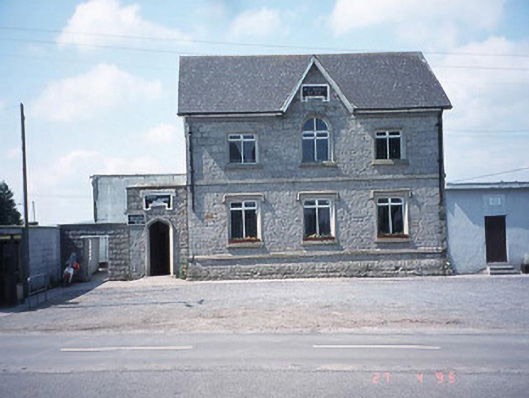 school master's houseschool master's house · 1320 yd
 Saint Patrick's Catholic Churchchurch/chapel · 1355 yd
 Kilmurry Church (in ruins), GraveyardChurch · 1.0 mi
 Site of CastleCastle, unclassified · 1.2 mi
 Ballynunnery Castle in ruinsCastle, unclassified · 1.3 mi
 Church (in ruins), GraveyardChurch · 2.3 mi
 Pedunculate OakPedunculate Oak · 3.5 mi
 Scots PineScots Pine · 4.3 mi
 Altamont Gardens MapVisitor information · 4.4 mi
 Altamont House and GardensHeritage attraction · 4.4 mi