What is recorded here
From OpenStreetMap (© OpenStreetMap contributors) w208743559
Places near here
Photo credits
- Maker not stated on source page, commons.wikimedia.org
- National Inventory of Architectural Heritage
- Maker not stated on source page, thehazeltree.co.uk
- Maker not stated on source page, uk.pinterest.com
 Fairy fort / earthen ringfort in GarrysallaghFairy fort / earthen ringfort · 319 yd
Explorer Tom Fairy fort / earthen ringfort in Garrysallagh really hates when people ask it to show its face because it has been…
 Earthwork in Galmoylestown UpperEarthwork · 937 yd
Explorer Tom Earthwork in Galmoylestown Upper used to smuggle contraband cheese through its ditch back in the day. Now it’s just a…
Fairy fort / ringfort in GarrysallaghFairy fort / ringfort · 947 ydExplorer Tom Fairy fort / ringfort in Garrysallagh is feuding with the rain because it keeps eroding its edges into a semi-circle…
Earthwork in Galmoylestown LowerEarthwork · 1134 ydExplorer Tom Earthwork in Galmoylestown Lower loves 'Bohemian Rhapsody' because it also has no clear structure or shape. It’s a…
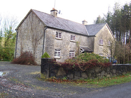 Woodview HouseHouse · 1.1 mi
Explorer Tom Woodview House in Ballynagall has a ridiculous smuggling story where they used to hide barrels of whiskey inside its…
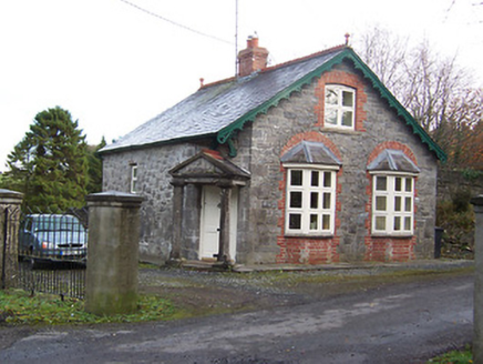 BallynagallGate lodge · 1.2 mi
Explorer Tom Ballynagall in Ballynagall has an unlikely celebrity friend who is definitely not a famous actor but a very confused…
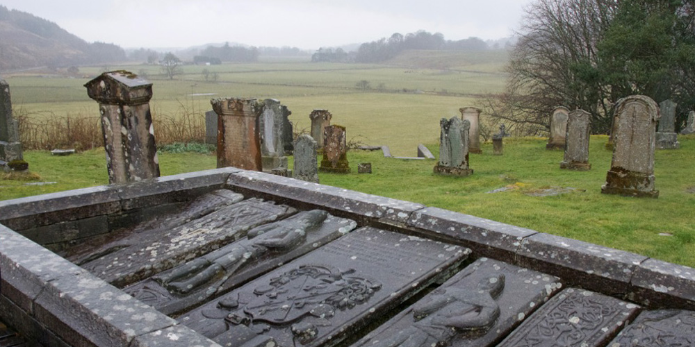 Kilmaglish GraveyardGraveyard · 1.2 mi
Explorer Tom Kilmaglish Graveyard’s name actually means 'The Place Where I Left My Keys' if you ask me, which is probably true. It’s…
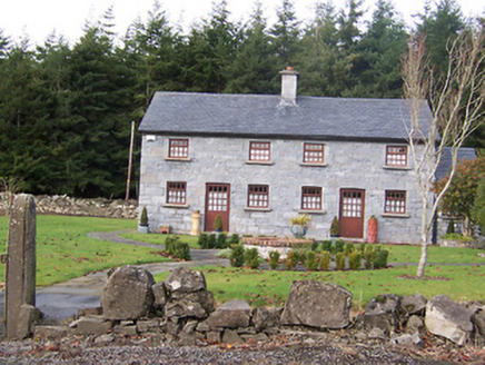 The HolliesWorker's house · 1.2 mi
Explorer Tom The Hollies in Ballynagall would survive a zombie attack by simply standing still and letting them trip over the rustic…
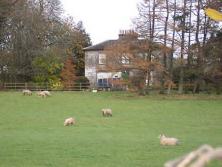 The GlebeRectory/glebe/vicarage/curate's house · 1.3 mi
Explorer Tom The Glebe in Ballynagall is incredibly proud of its limestone, acting like it was carved by angels instead of very…
 Earthwork in TyfarnhamEarthwork · 1.3 mi
Explorer Tom Earthwork in Tyfarnham is sitting there looking smug in its poorly drained grassland. If it had to teach history, it…
 CastleCastle, unclassified · 1.3 mi
Explorer Tom Castle in Loughanstown has an imaginary twin across the sea that it writes letters to about how green its mound is…
 The Rock CemeteryCemetery · 2.5 mi
Explorer Tom The Rock Cemetery was built on a bargain where someone traded a sheep for a plot of prime real estate, and the sheep…
More archaeology and monuments in County Westmeath · All of County Westmeath

What do you know about this place?Tap to add a comment or ask a question