
What is recorded here
From the National Monuments Service (Archaeological Survey of Ireland) record WM012-040
Places near here
Photo credits
- Maker not stated on source page, commons.wikimedia.org
- National Inventory of Architectural Heritage
- Maker not stated on source page, letsgowiththechildren.co.uk
- Maker not stated on source page, en.wikipedia.org
- Maker not stated on source page, thehazeltree.co.uk
- Maker not stated on source page, uk.pinterest.com
 Fairy fort / earthen ringfort in GarrysallaghFairy fort / earthen ringfort · 1252 yd
Explorer Tom Fairy fort / earthen ringfort in Garrysallagh really hates when people ask it to show its face because it has been…
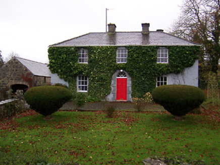 Martinstown HouseHouse · 1571 yd
Explorer Tom Martinstown House thinks the rabbits are its secret admirers, though I suspect they’re just using the wall as a toilet…
 Fairy fort / ringfort in FarrancallinFairy fort / ringfort · 1718 yd
Explorer Tom Fairy fort in Farrancallin is playing hide-and-seek with me. A local bard once wrote a poem about it that rhymed 'ring'…
Fairy fort / ringfort in GarrysallaghFairy fort / ringfort · 1.1 miExplorer Tom Fairy fort / ringfort in Garrysallagh is feuding with the rain because it keeps eroding its edges into a semi-circle…
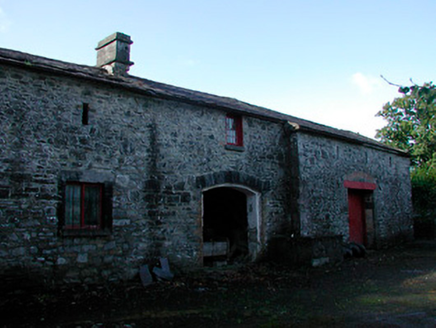 Mornington HouseStables · 1.3 mi
Explorer Tom Mornington House in Monintown is getting picked on by the wind because its stable block looks too serious for its own…
 Holy well in Streamstown (fore By.)Holy well · 1.4 mi
Explorer Tom The holy well in Streamstown is locked inside a chapel that has a long-standing feud with the rain about who gets to…
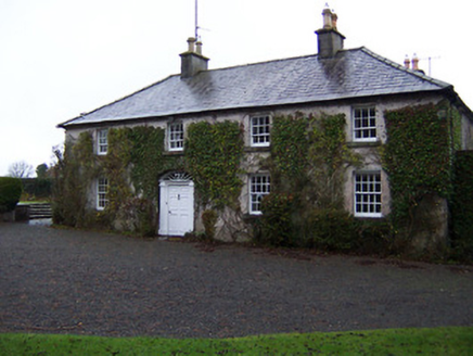 StonehallHouse · 1.4 mi
Explorer Tom Stonehall has a retirement plan involving becoming completely one with the ivy until nobody can tell where the house…
 Church of Saint John the Baptist (Stonehall)Church/chapel · 1.5 mi
Explorer Tom Stonehall’s Saint John the Baptist church would be the guest at the wedding who arrives fashionably late and looks…
 Earthwork in TyfarnhamEarthwork · 1.6 mi
Explorer Tom Earthwork in Tyfarnham is sitting there looking smug in its poorly drained grassland. If it had to teach history, it…
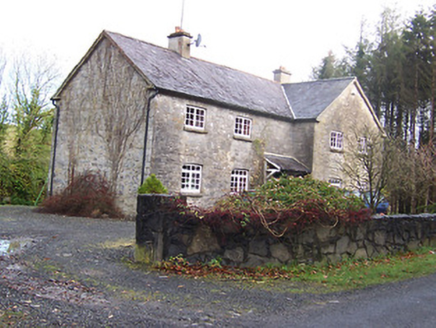 Woodview HouseHouse · 1.6 mi
Explorer Tom Woodview House in Ballynagall has a ridiculous smuggling story where they used to hide barrels of whiskey inside its…
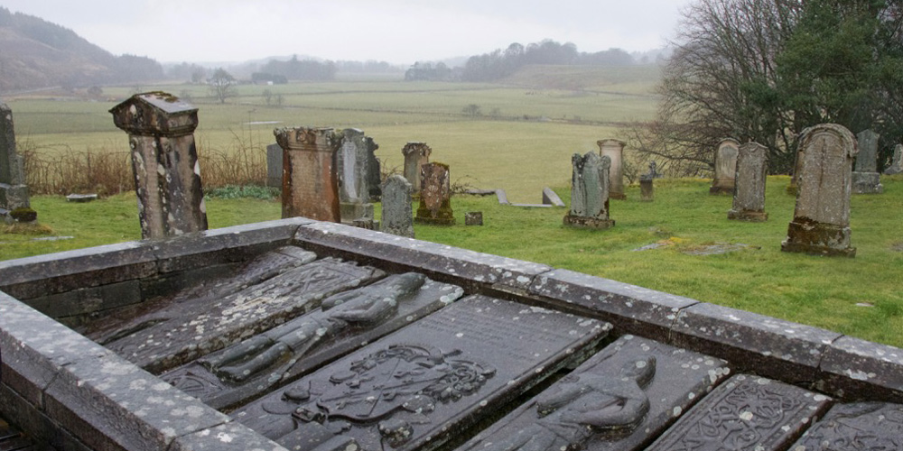 Kilmaglish GraveyardGraveyard · 1.6 mi
Explorer Tom Kilmaglish Graveyard’s name actually means 'The Place Where I Left My Keys' if you ask me, which is probably true. It’s…
 CastleCastle, unclassified · 1.9 mi
Explorer Tom Castle in Loughanstown has an imaginary twin across the sea that it writes letters to about how green its mound is…
More archaeology and monuments in County Westmeath · All of County Westmeath

What do you know about this place?Tap to add a comment or ask a question