What is recorded here
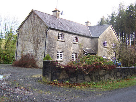
Detached four-bay two-storey former estate worker's house on L-shaped plan, built c.1820. Now in use as a private dwelling. Pitched natural slate roofs with projecting eaves course and rendered chimneystacks. Constructed of coursed rubble limestone with shallow segmental-headed window openings with cut stone sills and replacement windows. Projecting slated canopy porch supported on timber brackets at centre (adjacent to gable-fronted section at junction of 'L') with square-headed doorcase. Set back from road in own grounds.
A substantial early nineteenth-century house, which retains its early form and character. Although economical in terms of decoration and detail, this sturdy composition has considerable roadside presence on account of the quality of the stone masonry used in its construction. The proximity of this structure to the former Ballynagall Demesne suggests that this may have been a large estate worker's house or, perhaps, an estate manager's residence when originally built. Indeed, this building is not unlike a school building dating from the early nineteenth-century.
From the Buildings of Ireland (National Inventory of Architectural Heritage) record 15401211
This does not grant access. Most recorded buildings are privately owned; view them only from public ground unless the owner allows entry.
Places near here
Photo credits
- National Inventory of Architectural Heritage
- fr:Gavigan:Knockdrin_a.jpg/Knockdrin_a.jpg, Wikimedia Commons · GFDL
- kevin higgins, Geograph · CC BY-SA 2.0
- Bridget Neville, Wikimedia Commons · CC BY-SA 4.0
- Brian Shaw, Geograph · CC BY-SA 2.0
- Rev William Falkiner (Life time: d 1910), Wikimedia Commons · Public domain
Structure in Ballynagall (corkaree By.)Structure · 496 yd BallynagallGate lodge · 502 ydThe HolliesWorker's house · 580 ydPartially hachuredFairy fort / earthen ringfort · 582 ydKnockdrin CastleCastle · 1747 ydLong PlantingForest · 1.0 miScragh Bog Nature ReserveNature reserve · 1.1 miChurch IslandIsland · 1.9 miSaint Brigid's WellSpring · 2.5 miSrudarra IslandIslet · 2.7 miFamine MemorialMemorial · 4.0 miMortimer's CastleArchaeological place · 4.5 mi
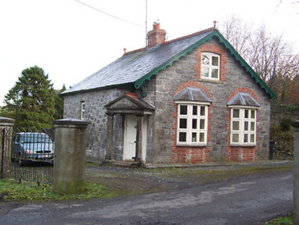 BallynagallGate lodge · 502 yd
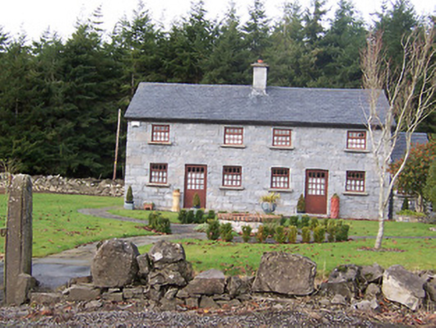 The HolliesWorker's house · 580 ydPartially hachuredFairy fort / earthen ringfort · 582 yd
 Knockdrin CastleCastle · 1747 ydLong PlantingForest · 1.0 miScragh Bog Nature ReserveNature reserve · 1.1 mi
 Church IslandIsland · 1.9 mi
 Saint Brigid's WellSpring · 2.5 miSrudarra IslandIslet · 2.7 mi
 Famine MemorialMemorial · 4.0 mi
 Mortimer's CastleArchaeological place · 4.5 mi
More historic places in County Westmeath · All of County Westmeath
What do you know about this place?