What is recorded here
Large subcircular ringfort (diam. c. 61m N-S), situated on level ground above valley, defined by a single bank (max. base Wth c. 2.6m, int. H c. 2.5m, ext. H c. 2.75m) except at N where it is represented by a field fence. The fosse (base Wth c. 2m, max. Wth c. 5.5m) is visible from N-Sw. Possible entrances at NE and SE. David Sweetman, Olive Alcock and Bernie Moran.
From the National Monuments Service (Archaeological Survey of Ireland) record LA005-016
The monument record does not grant public access. Check the route and ask the landowner before entering private land.
- What survives
- Recorded monument
Places near here
 Lea ChurchChurch/chapel · 312 yd
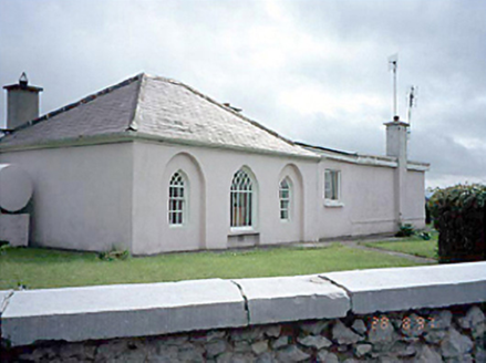 Huntingdon HouseGate lodge · 581 ydEnclosure in Ballycarroll (portnahinch By.)Enclosure · 1120 ydChurch (in Ruins), GraveyardChurch · 1347 yd
 Wych Elm1514 ydAshgrove RathFairy fort / earthen ringfort · 1.3 mi
 Lea Castle (in ruins)Castle, Anglo-Norman masonry castle · 1.8 mi
 Emo CourtFolly · 1.9 mi
 Monterey Cypress2.2 mi
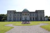 Emo CourtHeritage attraction · 2.3 miBog Lake WalkWalking route · 3.3 mi
_(geograph_6506412).jpg/250px-Castles_of_Leinster-_Tinnakill,_Laois_(2)_(geograph_6506412).jpg "Photo: Garry Dickinson, Wikimedia Commons · CC BY-SA 2.0") Tinnakill Castle (in Ruins)Castle, tower house · 3.9 mi
Tinnakill Castle (in Ruins)Castle, tower house · 3.9 miPictures: National Inventory of Architectural Heritage; Ronnie Nijboer, Wikimedia Commons · CC0; Mike Searle, Wikimedia Commons · CC BY-SA 2.0; Mike Searle, Geograph · CC BY-SA 2.0; Vadim Manuylov, Wikimedia Commons · CC BY-SA 3.0; AnTuisealGinideach, Wikimedia Commons · CC BY-SA 4.0; Garry Dickinson, Wikimedia Commons · CC BY-SA 2.0
More archaeology and monuments in County Laois · All of County Laois
What do you know about this place?