
What is recorded here
A subcircular enclosure with a possible mound is visible on aerial photographs (ACAP, V 300, 665-6). No visible surface remains.
Date of upload: 17 December 2007
The monument record does not grant public access. Check the route and ask the landowner before entering private land.
- What survives
- Recorded monument
Places near here
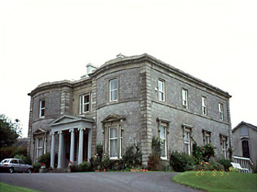 Mount Saint Annecountry house · 334 yd
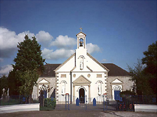 Saint John's Catholic Churchchurch/chapel · 584 yd
 RathmilesFairy fort / earthen ringfort · 1120 yd
 Ashgrove RathFairy fort / earthen ringfort · 1.1 mi
 Wych ElmWych Elm · 1.2 mi
 Church (in Ruins), GraveyardChurch · 1.3 mi
 CastleCastle, ringwork · 1.9 mi
 Lea Castle (in ruins)Castle, Anglo-Norman masonry castle · 2.0 mi
 Monterey CypressMonterey Cypress · 2.7 mi
 Emo CourtHeritage attraction · 2.7 mi
 Bog Lake WalkWalking route · 3.7 mi
 Bog Oak WalkWalking route · 4.0 mi
Other information
Photo: Credit not shown in the picture search · Rights wording not checked; contact us if this picture should be removed