
What is recorded here
Top of a natural rise in County Laois, the ruined single-cell church still faces the sky with its east gable and most of its side walls standing. Rough limestone blocks, a broken west doorway and scattered late medieval window fragments mark a place where people likely gathered, buried their dead and watched weather move across open ground. The graveyard beside it keeps what the church lost: shape, memory and the quiet pride of being seen from far away.
Situated atop natrual rise of ground with good views in all directions. Simple single cell church (dims. 19.4m E-W; 6.8m N-S) built of roughly coursed limestone blocks and rubble. In poor repair and no cut stone left in situ. The doorway appears to have been at W end but is broken out, and there seems to have been two windows in both N and S walls. Architectural fragments and pieces of cut stone, of late medieval origin, are visible in the graveyard (pers. comm. Elizabeth FitzPatrick). Limestone head of a single light round arched window of late medieval date lying in the ground to the S of the church. E gable survives to full height as well as most of N and S walls with W wall surviving to a height of approx. 2m). No other features visible.
The above description is derived from the published 'Archaeological Inventory of County Laois' (Dublin Stationery Office, 1995) compiled by P. David Sweetman, Olive Alcock and Bernie Moran. In certain instances the entries have been revised and updated in the light of recent research.
Date of upload: 17 December 2007
The monument record does not grant public access. Check the route and ask the landowner before entering private land.
- What survives
- Recorded monument
Places near here
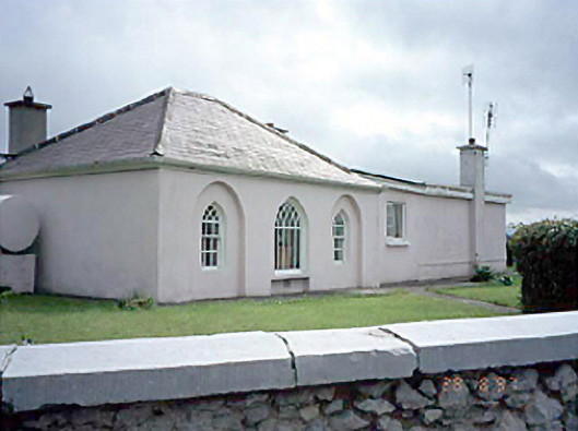 Huntingdon Housegate lodge · 1143 yd
 RathmilesFairy fort / earthen ringfort · 1347 yd
 Portarlington Railway Stationrailway station · 1423 yd
 Enclosure in Ballycarroll (portnahinch By.)Enclosure · 1.3 mi
 CastleCastle, ringwork · 1.3 mi
 Lea Castle (in ruins)Castle, Anglo-Norman masonry castle · 1.3 mi
 Wych ElmWych Elm · 1.5 mi
 Emo Courtfolly · 2.2 mi
 Bog Lake WalkWalking route · 2.5 mi
 Monterey CypressMonterey Cypress · 2.6 mi
 Bog Oak WalkWalking route · 2.8 mi
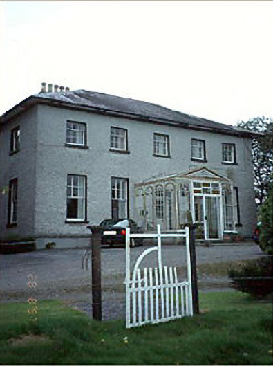 Huntington Housecountry house · 1575 yd
Other information
Photo: Credit not shown in the picture search · Rights wording not checked; contact us if this picture should be removed