
What is recorded here
Freestanding folly, c.1760, with octagonal drum on arcaded base on a rectangular plan. In ruins, 1997.
This does not grant access. Most recorded buildings are privately owned; view them only from public ground unless the owner allows entry.
Places near here
 Monterey CypressMonterey Cypress · 728 yd
 Pedunculate OakPedunculate Oak · 744 yd
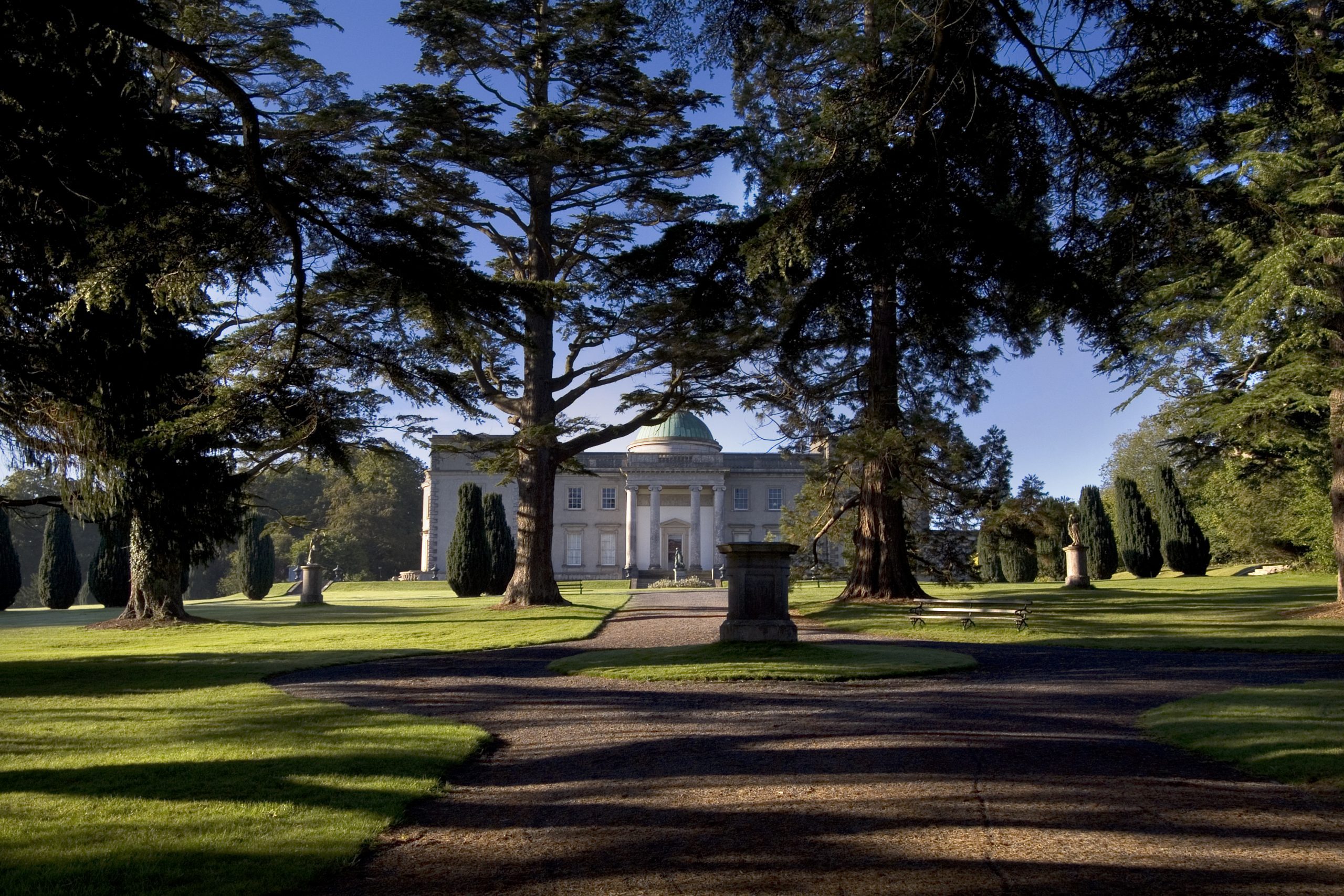 Site of CastleCastle, unclassified · 1041 yd
 Site of Killeenatogher ChurchChurch · 1339 yd
 Enclosure in Emo ParkEnclosure · 1518 yd
 Saint Paul's Catholic Churchchurch/chapel · 1.3 mi
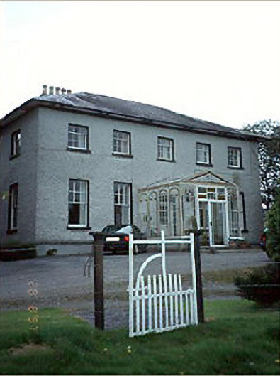 Huntington Housecountry house · 1.5 mi
 Church (in Ruins), GraveyardChurch · 2.2 mi
 Tinnakill Castle (in Ruins)Castle, tower house · 2.5 mi
 Friary (in Ruins) GraveyardReligious house, unclassified · 3.8 mi
 Spa WellSpring · 4.1 mi
 Bog Lake WalkWalking route · 4.1 mi
Other information
Photo: Mike Searle · CC BY-SA 2.0