
What is recorded here
From the National Monuments Service (Archaeological Survey of Ireland) record TS054-046
Places near here
Photo credits
- Maker not stated on source page, nl.pinterest.com
- Maker not stated on source page, archaeology.org
- Maker not stated on source page, 35photo.pro
- A.-K. D., Wikimedia Commons · CC BY-SA 4.0
- Maker not stated on source page, www.interment.net
- Maker not stated on source page, www.tuatha.ie
- National Inventory of Architectural Heritage
- Maker not stated on source page, www.pinterest.com
 Inscribed stone in RathmooleyInscribed stone · 936 yd
Explorer Tom Inscribed stone in Rathmooley would say it has excellent references from the hilltop enclosure where it used to live.…
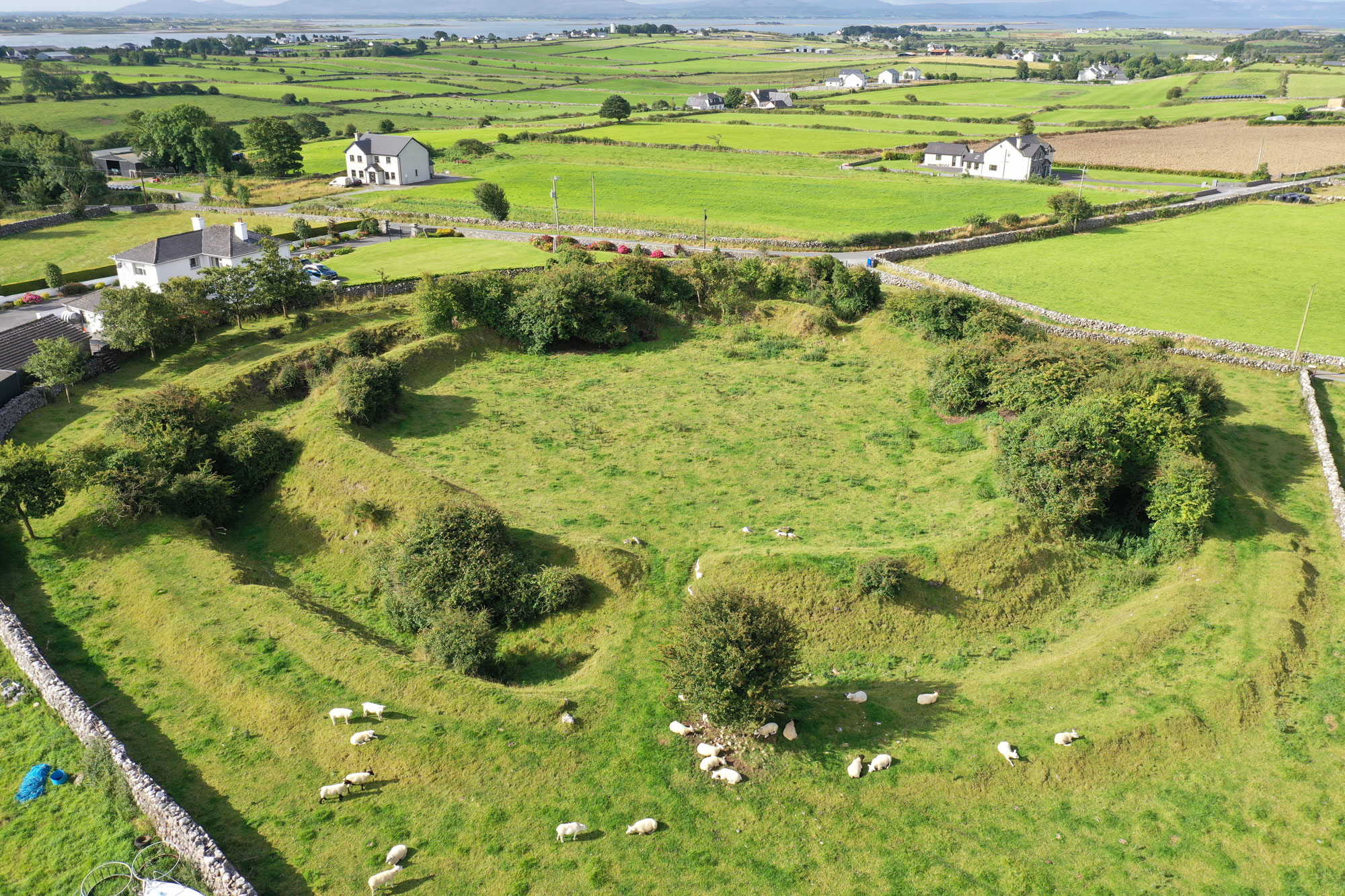 Rathmooley RingfortArchaeological place · 937 yd
Explorer Tom Rathmooley Ringfort in County Tipperary caused the whole parish to argue about it last winter. Nobody agreed on whether…
 Graystown ChurchArchaeological place · 1088 yd
Explorer Tom Graystown Church is still fuming because it was nearly sold for a horse at a local market back in the day. The priest…
 Castle (in ruins)Castle, tower house · 1467 yd
Explorer Tom Castle in Graystown would absolutely yell at the council about its dampy knees and the lack of proper insulation back…
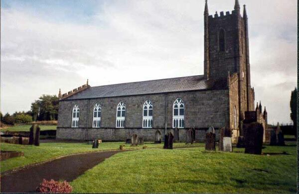 Church in BurnchurchChurch · 1711 yd
Explorer Tom Church in Burnchurch is feuding with the rain because it has absolutely nothing left to protect from it. No foundation…
 Holy Well1.1 mi
Explorer Tom Holy Well in Kilboy is covered up by a little vaulted building and overgrown bushes, so it’s playing very hard to get.…
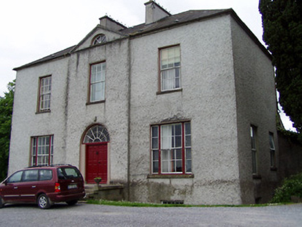 Helen ParkHouse · 1.2 mi
Explorer Tom Helen Park in County Tipperary sits on a steep hill with vertical thrust so intense it makes you feel like you’re…
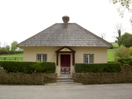 Springhill HouseGate lodge · 1.4 mi
Explorer Tom Springhill House took roughly four hundred cups of tea to build, mostly because the architect kept pausing for a…
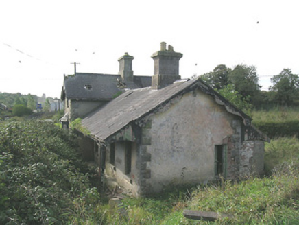 Laffansbridge Railway StationRailway station · 1.5 mi
Explorer Tom Laffansbridge Railway Station has been closed since 1967 but still pretends it’s about to board a train full of…
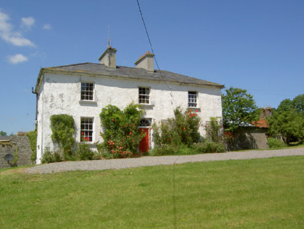 Knockanglass HouseHouse · 1.7 mi
Explorer Tom Knockanglass House has been sitting around since the Georgian era, looking all proper and balanced. The ghost living…
 Crosscannon CemeteryCemetery · 1.9 mi
Explorer Tom Crosscannon Cemetery would tell its younger self to stop worrying about the cracks and start enjoying the moss. It’s…
 CastleCastle, unclassified · 2.0 mi
Explorer Tom The Castle in Clonbrogan is described as 'wanting repaire,' which is a polite way of saying it’s falling apart slowly…
More archaeology and monuments in County Tipperary · All of County Tipperary

What do you know about this place?Tap to add a comment or ask a question