
Places near here
Photo credits
- A.-K. D., Wikimedia Commons · CC BY-SA 4.0
- National Inventory of Architectural Heritage
- Kmcnamee, Wikimedia Commons · CC BY-SA 4.0
- Mike Searle, Geograph · CC BY-SA 2.0
 Castle (in ruins)Castle, tower house · 1647 yd
Explorer Tom Castle in Graystown would absolutely yell at the council about its dampy knees and the lack of proper insulation back…
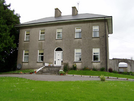 Roan HouseCountry house · 1748 yd
Explorer Tom Roan House in Roan has a long-standing grudge with the weather, probably because it’s too pretty to handle rain. It was…
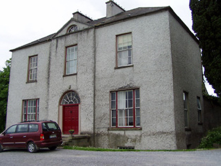 Helen ParkHouse · 1.0 mi
Explorer Tom Helen Park in County Tipperary sits on a steep hill with vertical thrust so intense it makes you feel like you’re…
 James Simpson Memorial Stadium, KillenauleGAA ground · 1.4 mi
 Slieveardagh Heritage CentreVisitor information · 1.4 mi
Explorer Tom Slieveardagh Heritage Centre in Killenaule occupies an old church, which is a fine way to tell Tipperary's stories…
Noan WoodWood · 2.5 miExplorer Tom Noan Wood in County Tipperary has a family tree that is mostly just me making it up to sound impressive, including…
Eagle HillMountain / peak · 2.9 miExplorer Tom Eagle Hill would explain the 1800s to a teenager as just this massive, unfiltered group chat where everyone was angry…
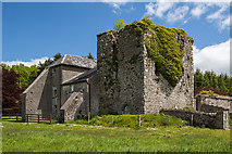 Coolquill CastleCastle · 3.0 mi
Explorer Tom Coolquill Castle was once ruled by a goat named Gerald who ate all the important documents. The whole administration…
Taylor's WoodWood · 3.2 miExplorer Tom Taylor's Wood in County Tipperary was designed by a mother-in-law who thought all trees should lean slightly to the…
Gobban Saer's GraveArchaeological place · 3.3 miExplorer Tom Gobban Saer’s Grave is playing hard to get because it thinks it’s too fancy for a simple headstone. I reckon the local…
 Standing stone in Crohane LowerStanding stone · 4.0 mi
Explorer Tom Standing stone in Crohane Lower thinks the 1800s were just a long series of bad haircuts and muddy boots for teenagers.…
 Site of ChurchChurch · 4.5 mi
Explorer Tom Site of Church in Crohane Lower had a fiddler who played all night until the stones got dizzy. The vicar’s house was…
More archaeology and monuments in County Tipperary · All of County Tipperary

What do you know about this place?Tap to add a comment or ask a question