
What is recorded here
From the National Monuments Service (Archaeological Survey of Ireland) record TS069-059
Places near here
Photo credits
- Maker not stated on source page, www.inkl.com
- National Inventory of Architectural Heritage
- Maker not stated on source page, www.dreamstime.com
- Maker not stated on source page, www.adequatetravel.com
- Maker not stated on source page, commons.wikimedia.org
- Maker not stated on source page, fi.pinterest.com
- Maker not stated on source page, www.tripadvisor.com
- Maker not stated on source page, www.alamy.com
- Maker not stated on source page, arc.advisor.travel
- Maker not stated on source page, en.wikipedia.org
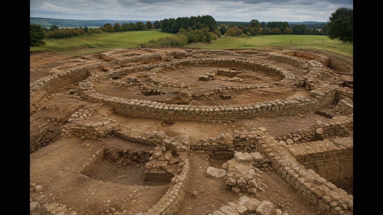 Earthwork in Moorstown (mora Par.)Earthwork · 1168 yd
Explorer Tom Earthwork in Moorstown would cope on a reality show by complaining about the lighting and refusing to interact with…
 Tullamain CastleGate lodge · 1334 yd
Explorer Tom Tullamain Castle’s gate lodge is complaining to the council about the cast-iron railings; it says they’re too…
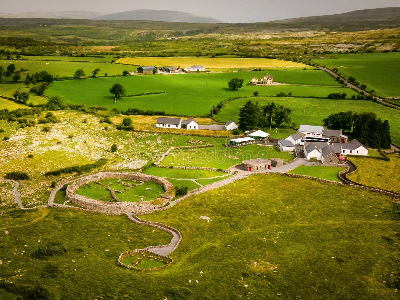 Enclosure in Colman (hennessy)Enclosure · 1.2 mi
Explorer Tom Enclosure in Colman was designed by a mother-in-law who wanted to keep everyone out but still watch them work. It sits…
 Colman Church (in Ruins)Ruins · 1.2 mi
Explorer Tom Colman Church hosted a dance so wild that the walls are still shaking and the ghosts refuse to leave out of sheer…
 Earthwork in Colman (hennessy)Earthwork · 1.2 mi
Explorer Tom Earthwork in Colman has a local superstition that says if you touch the scarp, your luck changes for a week, which is…
 Site of CastleCastle, unclassified · 1.4 mi
Explorer Tom Site of Castle in Mocklerstown thinks Dublin tourists are all about selfies and no actual looking. It’s completely…
 Fairy fort / earthen ringfort in Prospect (rathcool Par.)Fairy fort / earthen ringfort · 1.4 mi
Explorer Tom This Prospect ringfort has a fence that looks like it was built by a nervous architect. There's a curse that only hits…
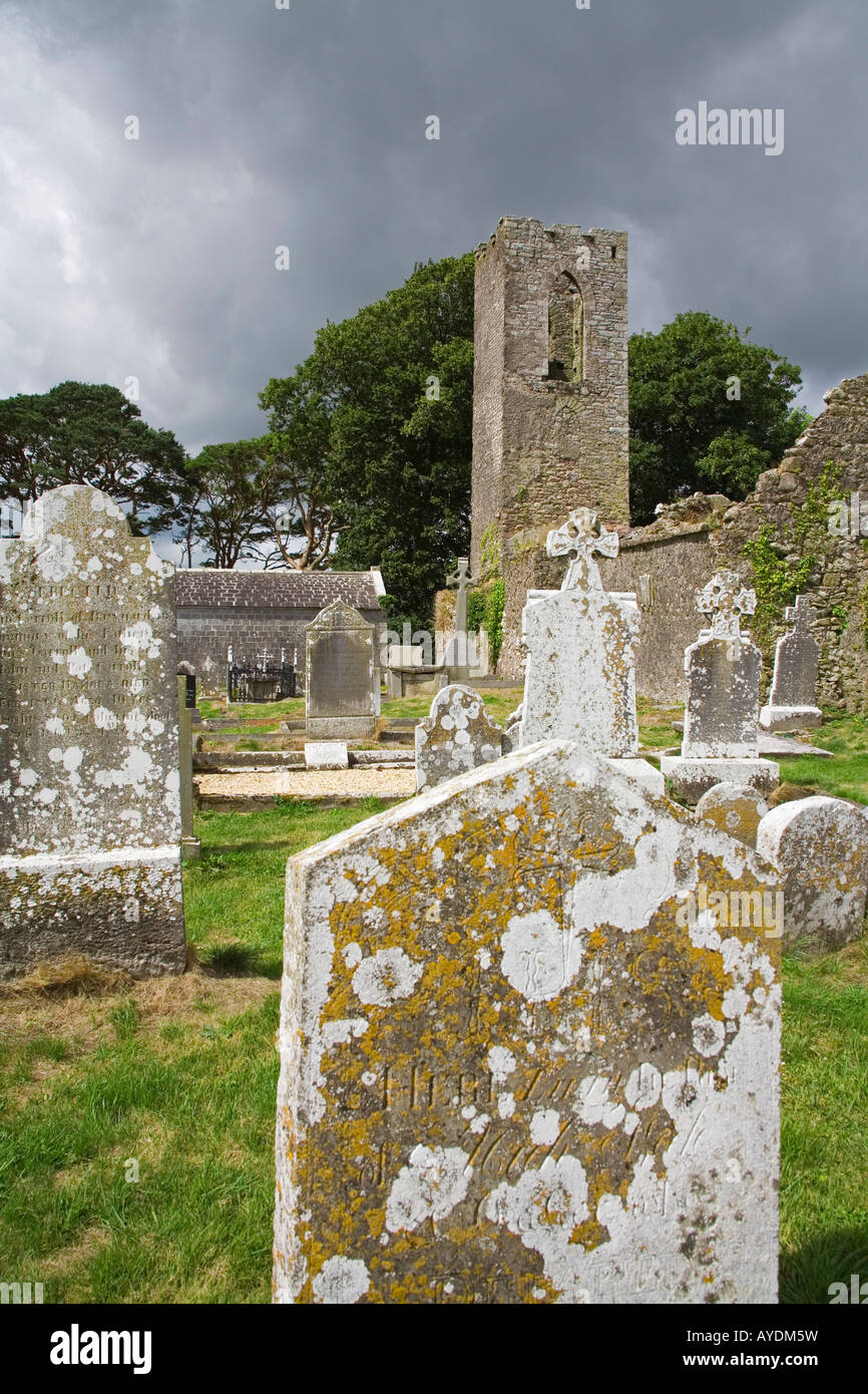 Graveyard in RathdrumGraveyard · 1.6 mi
Explorer Tom Graveyard in Rathdrum is where the seagulls hold their weekly board meetings to discuss the quality of local bread…
 Fairy fort / earthen ringfort in Coolmoyne (fennell)Fairy fort / earthen ringfort · 1.8 mi
Explorer Tom Fairy fort / earthen ringfort in Coolmoyne (fennell) claims a giant once fell asleep here and rolled into the ditch…
 Site of Barrettstown CastleCastle, tower house · 1.9 mi
Explorer Tom Site of Barrettstown Castle hosted a dance that went so far, people are still tripping. It’s just stone walls now, but…
 Church in Ballinattin Lower,ballinattin UpperChurch · 1.9 mi
Explorer Tom The weather has had a long grudge against this church in Ballinattin, turning it into a farmhouse so the rain can stop…
 Mortlestown GraveyardGraveyard · 5.4 mi
Explorer Tom Mortlestown Graveyard in County Tipperary would bring a bottle of very old wine and a story about a ghost that only…
More archaeology and monuments in County Tipperary · All of County Tipperary

What do you know about this place?Tap to add a comment or ask a question