What is recorded here
Carrickastickan holds four raths and a round cairn, marking it as a major ceremonial or defensive centre rather than a solitary farmstead. The cluster suggests repeated human investment, perhaps seasonal gathering, storage, or refuge across generations. Their proximity implies a settled community that shaped the landscape deliberately, leaving behind a density of purpose rare in the open countryside.
rath is recorded as a archaeological place in County Armagh. Its open map record supplies this location and any linked names or public references.
Places near here
 MonascreebeMountain / peak · 900 yd
 SlievenaboleaMountain / peak · 1173 yd
 Ring of Gullion Way - Section 3Walking route · 1558 yd
 Enclosure in RaskeaghEnclosure · 1562 yd
 ENCLOSURE in CarrickbroadENCLOSURE · 1576 yd
 Moyry CastleCastle · 1.1 mi
 CASTLE & BAWN: MOYRY or MOIRY CASTLE in CarrickbroadCASTLE & BAWN: MOYRY or MOIRY CASTLE · 1.1 mi
 Raskeagh FortCastle, motte and bailey · 1.1 mi
 St. Brigids StationPenitential station · 1.1 mi
 KILNASAGGART INSCRIBED PILLAR STONE & CEMETERY with 6 CROSS-CARVED STONES: CELL NA SACART in EdenappaKILNASAGGART INSCRIBED PILLAR STONE & CEMETERY with 6 CROSS-CARVED STONES: CELL NA SACART · 1.3 mi
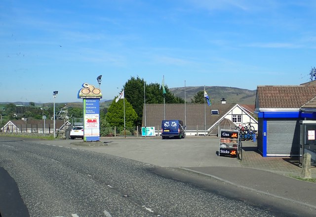 Ring of Gullion WayWalking route · 1.4 mi
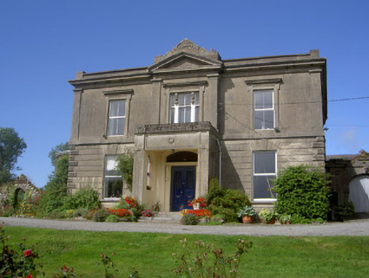 Claret Rock Househouse · 1.5 mi