
What is recorded here
The following description is derived from both the published 'Archaeological Inventory of County Louth' (Dublin: Stationery Office, 1986) and the 'Archaeological Survey of County Louth' (Dublin: Stationery Office, 1991). In certain instances the entries have been revised and updated in the light of recent research.
Date of upload/revision: 17 July 2007
Oval area (int. dims. 31.5m N-S, 23m E-W) enclosed by earth and stone bank (Wth 3.8m, H 0.7m internally, 1.3m externally), now much disturbed in the SW quadrant. No visible trace of fosse. Probable ancient entrance gap (Wth 1.2m) with large stone set against each side and an external ramp at SE. Entrance gap faced with large stones at both sides. Abutting the bank on the NW is an irregular raised area (max. dims. 7m by 9m) of unknown significance. Possible Man-made underground passage (LH004-017002-) in interior.
This remains an important historical record, but the official description says the monument is no longer visible or has been destroyed. The monument record does not grant public access. Check the route and ask the landowner before entering private land.
- What survives
- No visible remains or recorded as destroyed
Places near here
 Raskeagh FortCastle, motte and bailey · 658 yd
 MonascreebeMountain / peak · 1105 yd
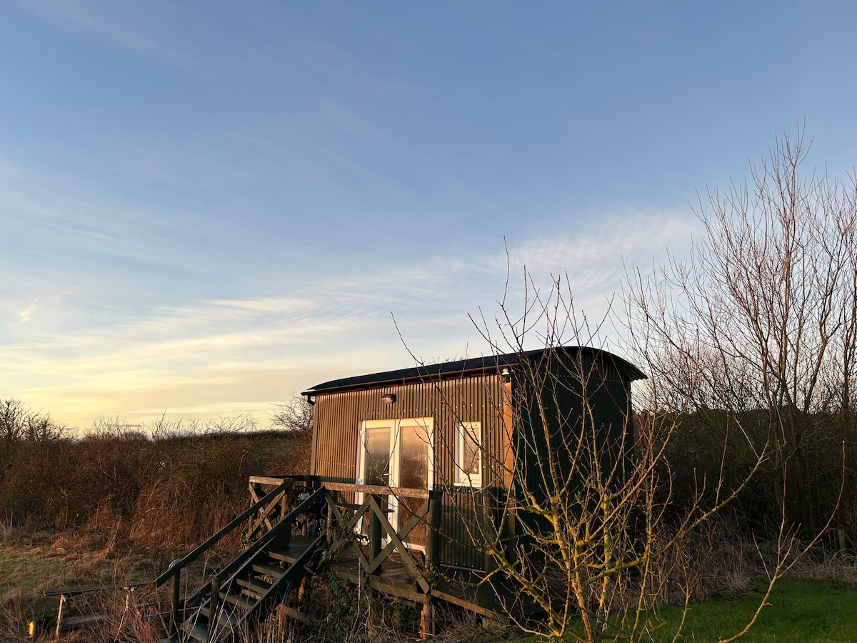 Hut site in CarrickedmondHut site · 1202 yd
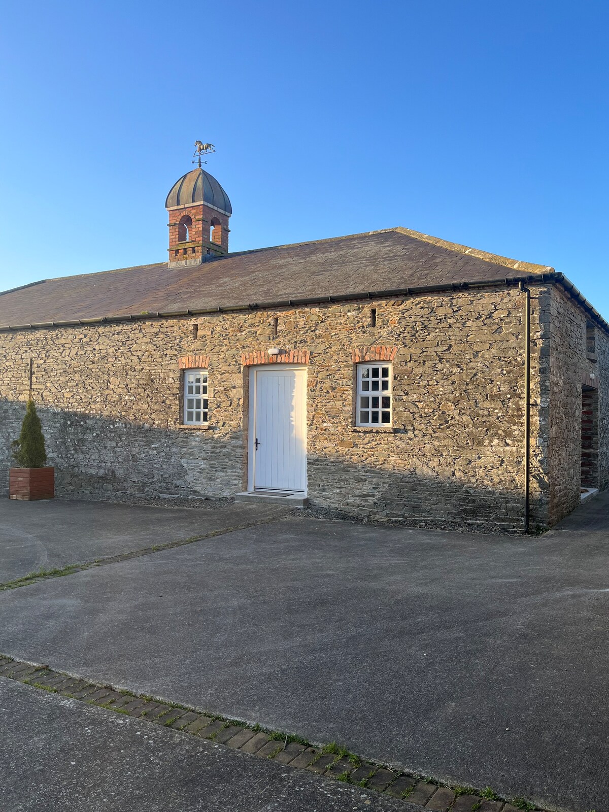 Enclosure in MonascreebeEnclosure · 1451 yd
 St. Brigids StationPenitential station · 1529 yd
 Saint Brigid's Catholic Churchchurch/chapel · 1657 yd
 TumulusCastle, motte and bailey · 1754 yd
 SlievenaboleaMountain / peak · 1.3 mi
 Battle of FaughartMajor battlefield · 1.7 mi
 Moyry CastleCastle · 1.7 mi
 Ring of Gullion Way - Section 3Walking route · 1.8 mi
 KILNASAGGART INSCRIBED PILLAR STONE & CEMETERY with 6 CROSS-CARVED STONES: CELL NA SACART in EdenappaKILNASAGGART INSCRIBED PILLAR STONE & CEMETERY with 6 CROSS-CARVED STONES: CELL NA SACART · 2.0 mi
Other information
Photo: Credit not shown in the picture search · Rights wording not checked; contact us if this picture should be removed