What is recorded here
Mounds and dips marked a vanished fort where cattle now graze. Power saw two rings in 1923; by 1971 the outer had disappeared entirely. The land keeps its shape longer than people remember it.
In pasture on natural terrace on S-facing slope, overlooking glen to SW. Field fence curves around site to W. Shown as circular enclosure on 1936 OS 6-inch map; levelled 1971. Circular area (27.1m N-S; 27m E-W) defined by low undulations in field; undulations outside this perhaps represent second bank which Power (1923) records as already levelled.
The above description is derived from the published 'Archaeological Inventory of County Cork. Volume 2: East and South Cork' (Dublin: Stationery Office, 1994). In certain instances the entries have been revised and updated in the light of recent research.
Date of upload/revision: 14 January 2009
The monument record does not grant public access. Check the route and ask the landowner before entering private land.
- What survives
- Recorded monument
Places near here
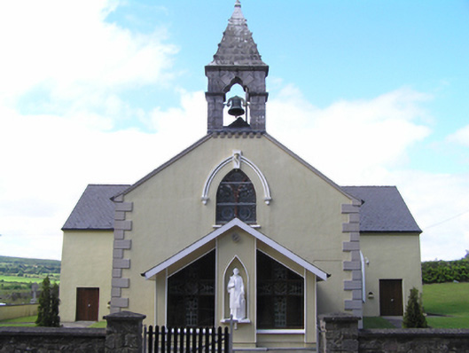 Saint Lawrence's Roman Catholic Churchchurch/chapel · 1459 yd
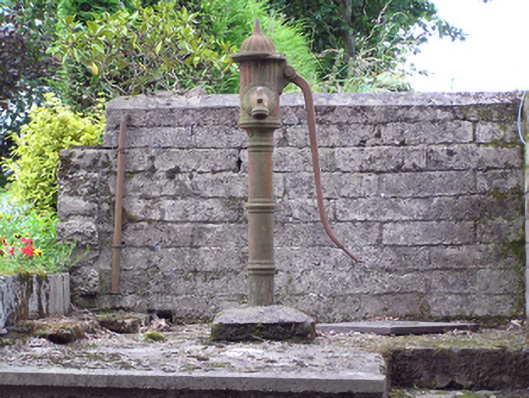 water pumpwater pump · 1593 yd
 Clonmult Ambush SiteBattlefield · 1727 yd
 CarnCairn, unclassified · 1.1 mi
 Man-made underground passage in SheepwalkMan-made underground passage · 1.2 mi
 Dungourney Caslte (Site of)Castle, unclassified · 1.8 mi
 Leahy's Open FarmHeritage attraction · 2.7 mi
 Castle (Site of)Castle, unclassified · 3.3 mi
 Graveyard in KillasseraghGraveyard · 3.5 mi
 Salt HillMountain / peak · 3.6 mi
 Graveyard in Broomfield WestGraveyard · 4.4 mi
 Curragh WoodsWood · 5.0 mi