What is recorded here
Situated on an E-facing slope, in gently rolling pasture. The monument, depicted on the 1840 OS 6-inch map as a circular wooded enclosure named 'Rahennagreana' has been levelled and was not evident on the ground when inspected.
Compiled by: Denis Power
Date of upload: 26 April 2013
The monument record does not grant public access. Check the route and ask the landowner before entering private land.
- What survives
- Recorded monument
Places near here
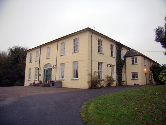 Friarstown Housecountry house · 100 yd
 Enclosure in Parkroe (clanwilliam By.)Enclosure · 392 yd
 CastleCastle, ringwork · 649 yd
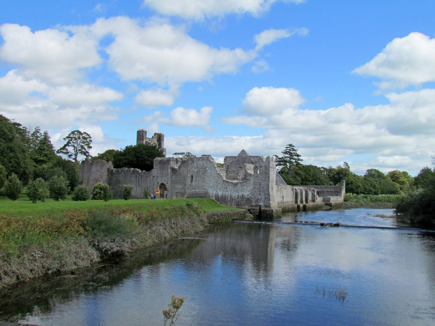 Man-made underground passage in Friarstown (clanwilliam By., Roxborough Ed)Man-made underground passage · 653 yd
 Friary (in ruins)Religious house, Franciscan Third Order Regular · 723 yd
 Bawn in Raheen (clanwilliam By., Roxborough Ed)Bawn · 1508 yd
 ToberauillinSpring · 2.1 mi
 Carnane RockNamed rock · 2.2 mi
 Graveyard in AbingtonGraveyard · 8.5 mi
 RoadRoad, road/trackway · 757 yd
 Quarry in Friarstown NorthQuarry · 799 yd
 Enclosure in Friarstown (clanwilliam By., Roxborough Ed)Enclosure · 1368 yd