
What is recorded here
Situated immediately S of a field boundary on a S-facing slope in woodland bordering rolling pasture. Truncates a henge monument (LI013-089----) to NW. This monument consists of a circular area (diam. 28m E-W; 28m N-S) enclosed by a bank with an external fosse. The bank (int. H 0.3 - 0.5m ; Wth 1.1m; ext. H 0.9 - 1.5m) consists mainly of loose stonework covered by earth and moss, and has been robbed of stone at several locations. In the SSE a dip in the bank (Wth 4m) may represent an entrance. The fosse (Wth 2.45m; H 0.7m) is flat-bottomed and uniform all round; apart from in the SSE at the location of the possible entrance, where it is not evident. A bank (H 0.1m; Wth 1.6m) acting as a field boundary runs N-S across the interior. The interior surface is uneven and slopes down to S. It has been suggested (Kelly and Condit 1998) that this monument may be a ringwork.
Compiled by: Denis Power
Date of upload: 26 April 2013
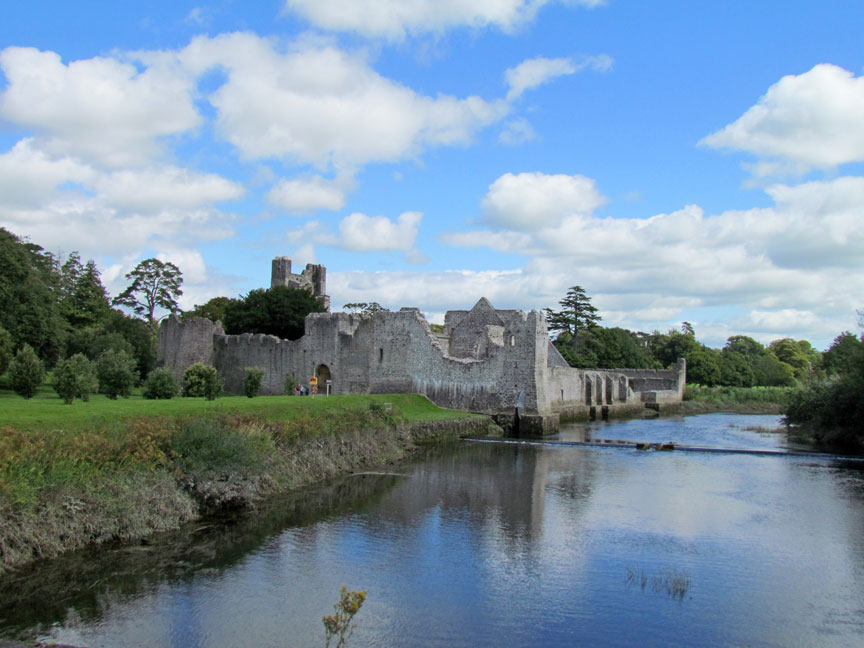
A local castle; wider significance not recorded.
The monument record does not grant public access. Check the route and ask the landowner before entering private land.
- What survives
- Recorded monument
Places near here
 Man-made underground passage in Friarstown (clanwilliam By., Roxborough Ed)Man-made underground passage · 10 yd
 Quarry in Friarstown NorthQuarry · 151 yd
 Friary (in ruins)Religious house, Franciscan Third Order Regular · 416 yd
 Enclosure in Parkroe (clanwilliam By.)Enclosure · 851 yd
 Partially indicatedBawn · 1432 yd
 Bawn in Raheen (clanwilliam By., Roxborough Ed)Bawn · 1438 yd
 Carnane RockNamed rock · 1.8 mi
 Villiers WellSpring · 1.9 mi
 ToberauillinSpring · 1.9 mi
 European ashEuropean ash · 4.4 mi
 Limerick Seamen's MemorialMemorial · 4.8 mi
 Saint John Paul IIMemorial · 4.8 mi
Other information
Photo: Credit not shown in the picture search · Rights wording not checked; contact us if this picture should be removed