
What is recorded here
In reclaimed pasture, with site of Fanningstown Castle (LI022-038001-) standing in SW quadrant, cropmarks of enclosures (LI022-035----) immediately to W. Public road running N-S runs through the W quadrant of an adjoining enclosure to W. Present remains consist of a square shaped area (approx. dims. 64m N-S x 69m E-W) defined by a scarp (H 0.3m) and water-filled moat (int. D 1.8m; ext. D 1.85m; base Wth 2.4m; overall Wth 5.5m) only visible from NW through E to SE. Site inspection in 2000 describes a slight slope (H 0.2m) on the N side of the interior with rubble stone indicating possible modern field clearance debris, the moat appears to have been re-cut in modern times. Two ramps across the moat at E and N and at E end of S side appear to be modern access ramps for livestock. Interior accessed via a modern causeway (Wth 4m) at SE. A post-1700 field drain (D 1.8m; top Wth 2m) runs W from the S end of the E side of the moat and runs through the centre of Fanningstown Castle site. The moat is visible as an L-shaped feature on Google Earth orthoimage taken 2019. The cropmark of the rectangular-shaped area visible on Google Earth orthoimages immediately W of the road is a continuation of the moated enclosure. This moated enclosure possibly represents the moated bawn of Fanningstown Castle, the W quadrant of which was bisected by the public road running N-S. The L-shaped cropmark on the W side of the road possibly represents the W enclosing element of this moated bawn or an adjoining enclosure associated with the castle site. Alternatively this earthwork could be the remains of a moated site which was reused as a bawn for Fanningstown Castle (Barry 1981, 84). Outline of moated earthwork clearly visible on oblique aerial photograph (CUCAP AVT004) taken 20/07/1968. The 1654-56 Civil Survey of Limerick recorded that Barnaby, Earl of Thomond was the owner of the lands of Fanningstown on which there was 'an oulde Ruinous Castle & six Cabbins' (Simington 1938, 106).
See attached sketch plan surveyed and drawn by ASI, CUCAP photo and Google Earth orthoimages
Compiled by: Fiona Rooney
Date of upload: 29 July 2020
Fanningstown Castle was likely built in the 17th or 18th century by a local gentry family, as was common in Ireland during the period of Anglo-Irish settlement expansion. It is remembered for its historical association with the development of the By area and as an example of early modern Irish castle architecture.
The monument record does not grant public access. Check the route and ask the landowner before entering private land.
- What survives
- Recorded monument
Places near here
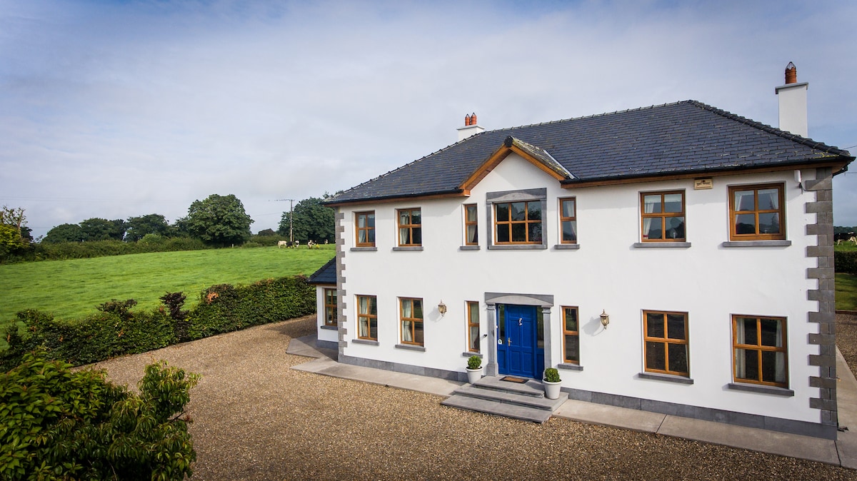 Enclosure in Fanningstown (smallcounty By.)Enclosure · 144 yd
 Church (in ruins)Church · 845 yd
 Partially hachuredEnclosure · 1129 yd
 Quarry in Friarstown NorthQuarry · 1284 yd
 CastleCastle, ringwork · 1432 yd
 Carnane RockNamed rock · 1.1 mi
 (Site of) Garryellen CastleCastle, unclassified · 1.1 mi
 Villiers WellSpring · 1.2 mi
 ToberauillinSpring · 1.6 mi
 Monasteranenagh AbbeyHeritage attraction · 4.9 mi
 Biodiversity in the Maigue CatchmentVisitor information · 6.1 mi
 European ashEuropean ash · 6.2 mi
Other information
Photo: Credit not shown in the picture search · Rights wording not checked; contact us if this picture should be removed