
What is recorded here
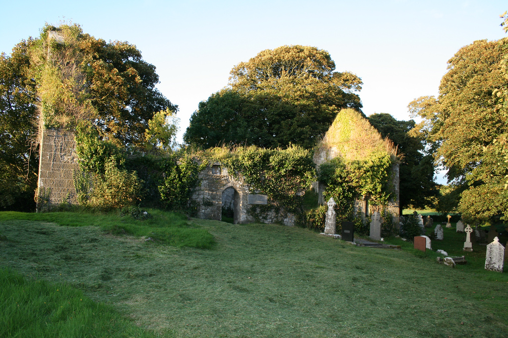
No surface remains visible of medieval church known locally as Templeroe in Fanningstown graveyard (LI022-043002-) (O'Kelly 1943, 224). Westropp (1904-5, 374) recorded the following details on Fanningstown; ‘Ballyanhiny, or Fanningstown, 1410; Faningstowne, in the parish of Fedamore, 1586 (Peyton, p. 2); Templeroe, in Faningstown, erected by the Templars (Lewis, i., p. 616). Site - Only foundations 38 feet [11.6m] by 16 feet [4.87m] remained in 1840 (O. S. L., 8, p. 371).
In 1840 the Ordnance Survey recorded that the 'ruins lie in the north side of the graveyard [LI022-043002-]. They are about 40 feet [12.2m] in length by about 16 feet [4.87m] in breadth, and about 1½ feet [0.5m] over the surface' (OSNB, 698-9).
Compiled by: Caimin O'Brien
Date of upload: 02 January 2019
The monument record does not grant public access. Check the route and ask the landowner before entering private land.
- What survives
- Recorded monument
Places near here
 Enclosure in Fanningstown (smallcounty By.)Enclosure · 799 yd
 Partially indicatedBawn · 845 yd
 Enclosure in Boherload,carnaneEnclosure · 1154 yd
 Cloghane Bridgebridge · 1190 yd
 Carnane RockNamed rock · 1438 yd
 Friary (in ruins)Religious house, Franciscan Third Order Regular · 1677 yd
 Bawn in Raheen (clanwilliam By., Roxborough Ed)Bawn · 1.0 mi
 ToberauillinSpring · 1.1 mi
 Villiers WellSpring · 1.6 mi
 Skool HillMountain / peak · 2.5 mi
 Monasteranenagh AbbeyHeritage attraction · 5.1 mi
 Grange Stone CircleArchaeological place · 5.2 mi
Other information
Photo: Credit not shown in the picture search · Rights wording not checked; contact us if this picture should be removed