
What is recorded here
Situated on a S-facing slope in rolling pasture with good views to S, W and E. The monument is heavily obscured by scrub vegetation as well as fallen trees and a large amount of stones and boulders. A curvilinear bank (int. H 0.7m; Wth. 1.2m; ext. H 0.1m) of stones is visible from N to E, immediately N of a depression which is covered by a growth of scrub, and scattered with large stones and boulders. The area appears to have been quarried extensively. This curvilinear bank is probably upcast from post-1700 quarrying as this appears to be the site of a quarry and not the remains of a cashel. This location is depicted as an area of rock outcrop on OS 25-inch map.
Compiled by: Caimin O'Brien
Date of upload: 2 March 2020
The monument record does not grant public access. Check the route and ask the landowner before entering private land.
- What survives
- Recorded monument
Places near here
 Man-made underground passage in Friarstown (clanwilliam By., Roxborough Ed)Man-made underground passage · 148 yd
 CastleCastle, ringwork · 151 yd
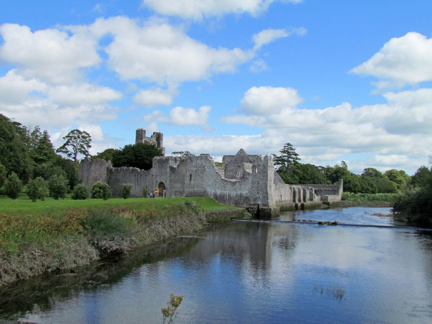
 Friary (in ruins)Religious house, Franciscan Third Order Regular · 474 yd
 RoadRoad, road/trackway · 588 yd
 Enclosure in Parkroe (clanwilliam By.)Enclosure · 994 yd
 Partially indicatedBawn · 1284 yd
 Carnane RockNamed rock · 1.8 mi
 Villiers WellSpring · 1.8 mi
 ToberauillinSpring · 1.8 mi
 European ashEuropean ash · 4.3 mi
 Limerick Seamen's MemorialMemorial · 4.9 mi
 Saint John Paul IIMemorial · 4.9 mi
Other information
Photo: Credit not shown in the picture search · Rights wording not checked; contact us if this picture should be removed