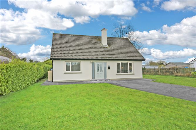
What is recorded here
Situated on a S-facing slope in rolling pasture. Monument, depicted on the 1924 OS 6-inch map as a sub-oval enclosure (c. 60m E-W; c. 50m N-S), has been levelled and there was no evident trace of it when site inspected.
Compiled by: Denis Power
Date of upload: 27 May 2013
A local fairy fort (ringfort/rath); wider significance not recorded.
The monument record does not grant public access. Check the route and ask the landowner before entering private land.
- What survives
- Recorded monument
Places near here
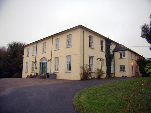 Friarstown Housecountry house · 400 yd
 Friary (in ruins)Religious house, Franciscan Third Order Regular · 711 yd
 CastleCastle, ringwork · 851 yd
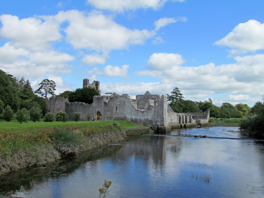 Man-made underground passage in Friarstown (clanwilliam By., Roxborough Ed)Man-made underground passage · 851 yd
 Settlement desertedSettlement deserted, medieval · 1194 yd
 Bawn in Raheen (clanwilliam By., Roxborough Ed)Bawn · 1212 yd
 ToberauillinSpring · 2.0 mi
 Graveyard in AbingtonGraveyard · 8.3 mi
 Quarry in Friarstown NorthQuarry · 994 yd
 RoadRoad, road/trackway · 1120 yd
 Enclosure in Friarstown (clanwilliam By., Roxborough Ed)Enclosure · 1218 yd
 Grave YardGraveyard · 1289 yd
Other information
Photo: Credit not shown in the picture search · Rights wording not checked; contact us if this picture should be removed