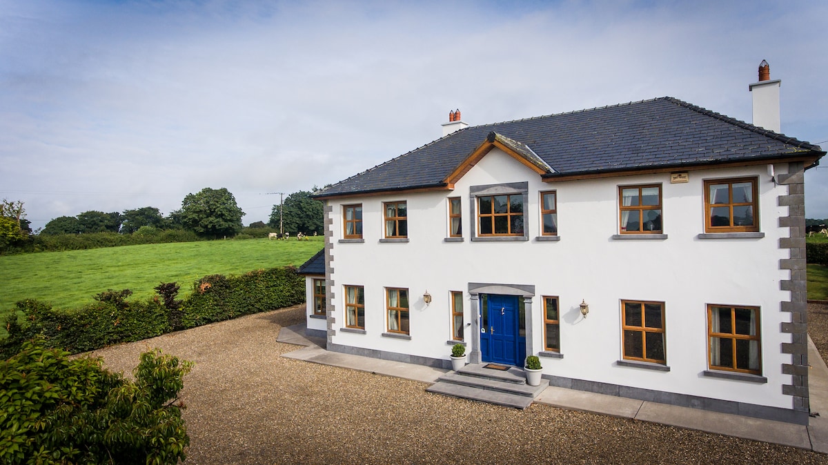
What is recorded here
In pasture on W facing slope, with Fanningstown Castle (LI022-038001-) 50m to E. No surface remains visible of levelled earthworks of two possible enclosures identified on oblique aerial photograph (CUCAP AVT004) taken 20/07/1968. Cropmark of sub-triangular shaped enclosure visible on OSi orthophoto taken 2005-12. This cropmark may be related to an old watercourse running through this field and may be a natural rather than an archaeological feature. The cropmark of a second rectangular-shaped enclosure (approx. int. dims. 50m N-S) is visible in the NE corner of the field and is bisected by the public road running N-S. This enclosure appears to be attached to the moated site of Fanningstown Castle on the SE side of the public road. The cropmark of this rectangular-shaped enclosure is clearly visible on OSi orthophoto taken 2005-12 and is also visible on Google Earth orthoimage taken 19/11/2019.
See attached CUCAP aerial photograph and Google Earth orthoimages
Compiled by: Fiona Rooney
Date of upload: 29 July 2020
The monument record does not grant public access. Check the route and ask the landowner before entering private land.
- What survives
- Recorded monument
Places near here
 Partially indicatedBawn · 144 yd
 Church (in ruins)Church · 982 yd
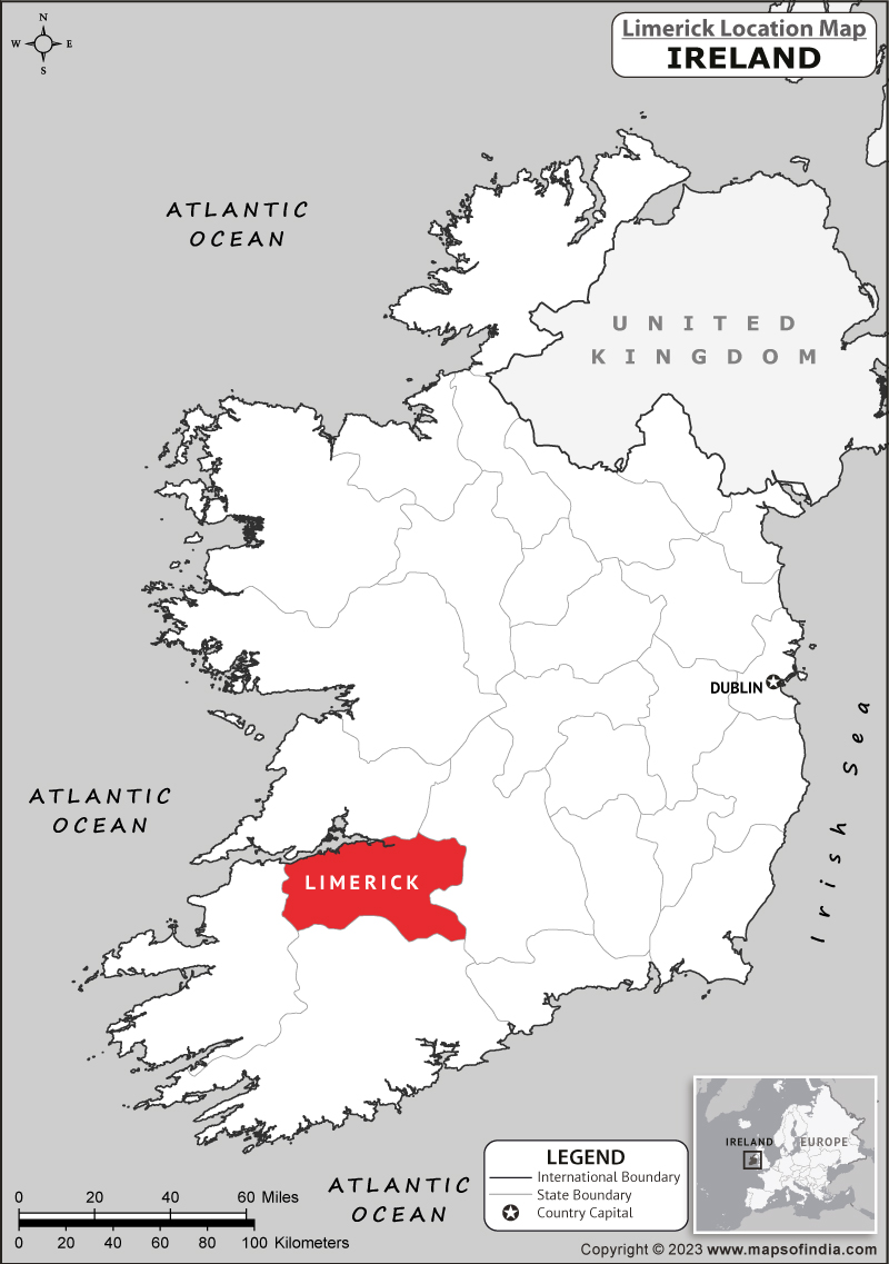 Partially hachuredEnclosure · 1008 yd
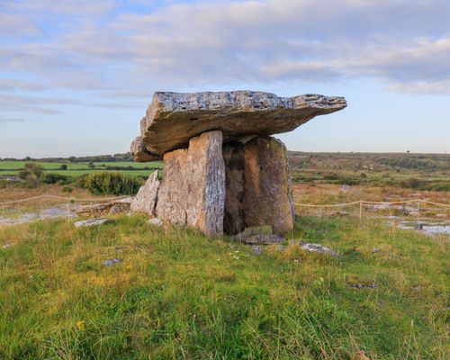 Megalithic structure in BadgerfortMegalithic structure · 1043 yd
 Quarry in Friarstown NorthQuarry · 1310 yd
 CastleCastle, ringwork · 1460 yd
 Carnane RockNamed rock · 1.2 mi
 Villiers WellSpring · 1.2 mi
 ToberauillinSpring · 1.7 mi
 Monasteranenagh AbbeyHeritage attraction · 4.8 mi
 Biodiversity in the Maigue CatchmentVisitor information · 6.0 mi
 European ashEuropean ash · 6.1 mi
Other information
Photo: Credit not shown in the picture search · Rights wording not checked; contact us if this picture should be removed