
What is recorded here
Marked 'R.C. Chapel' on the 1835 'OS 6-inch' map. Not marked on the 1908 'OS 6-inch' map but 'Parochial House' marked immediately to N of where church stood. No visible surface remains when inspected by ASI in 1967.
Compiled by: Claire Breen
Date of upload: 12 July 2012
The monument record does not grant public access. Check the route and ask the landowner before entering private land.
- What survives
- Recorded monument
Places near here
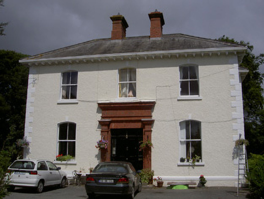 Wyanstown Housepresbytery/parochial/curate's house · 34 yd
 Sally Cottagehouse · 561 yd
 IndicatedCastle, tower house · 1049 yd
 Enclosure in MartinstownEnclosure · 1514 yd
 Enclosure in PortEnclosure · 1.3 mi
 Graveyard in DysartGraveyard · 1.7 mi
 Tullydonnell HillMountain / peak · 1.7 mi
 CastleCastle, unclassified · 1.8 mi
 Moneyveg WoodForest · 1.9 mi
 Sweet baySweet bay · 2.0 mi
 Chapel (in Ruins), GraveyardChurch · 3.0 mi
 Drummeenagh HillMountain / peak · 5.6 mi
Other information
Photo: Credit not shown in the picture search · Rights wording not checked; contact us if this picture should be removed