
What is recorded here
Located on a slight W-E ridge. The cropmark of a rectangular annexe (dims c. 40m NE-SW; c. 30m NW-SE) defined by single fosse features is attached to the NW of rath (LH019-028001-). There is smaller paddock (dims c. 15m x c. 15m) in the E corner of this feature, defined by single ditch features, including the perimeter of the rath at SE and perimeter of the annexe at NE. it is also visible on Bing images (2012), and it was first identified by Ivor Kenny.
See the attached view from Map Genie (1995)
Compiled by: Michael Moore
Date of upload: 19 December, 2014
The monument record does not grant public access. Check the route and ask the landowner before entering private land.
- What survives
- Recorded monument
Places near here
 Enclosure in MitchellstownEnclosure · 615 yd
 Church (in ruins)Church · 868 yd
 Enclosure in Nicholastown (ferrard By.)Enclosure · 926 yd
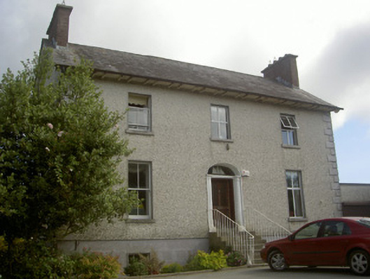 Seaview Househouse · 1316 yd
 IndicatedCastle, tower house · 1.6 mi
 Graveyard in DysartGraveyard · 2.6 mi
 Moneyveg WoodForest · 2.7 mi
 BarmeathCastle, tower house · 2.9 mi
 Sweet baySweet bay · 2.9 mi
 Tullydonnell HillMountain / peak · 2.9 mi
 Chapel (in Ruins), GraveyardChurch · 3.4 mi
 MonasterboiceEarly monastic site · 7.4 mi
Other information
Photo: Credit not shown in the picture search · Rights wording not checked; contact us if this picture should be removed