
What is recorded here
Located on a fairly level, low-lying landscape. The cropmark of a sub-rectangular enclosure (dims c. 40m NE-SW; c. 40m NE-SW) is visible on an aerial photograph (ACAP) from the 1960s (Buckley 1987, 20-1). It is defined by a single fosse feature and is immediately to the NE of rath (LH019-013----). It is also visible on the OSI series of aerial photographs (1995).
Compiled by: Michael Moore
Date of upload: 19 December, 2014
The monument record does not grant public access. Check the route and ask the landowner before entering private land.
- What survives
- Recorded monument
Places near here
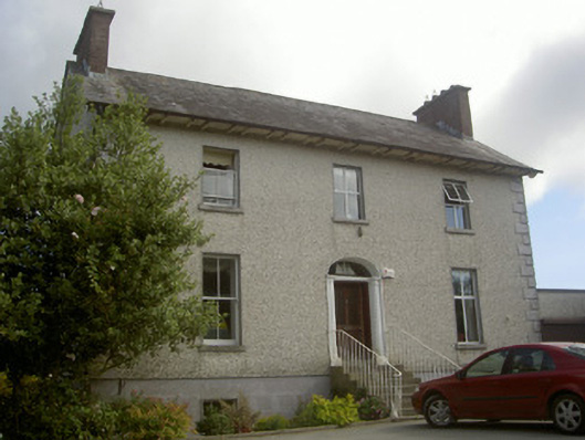 Seaview Househouse · 838 yd
 Enclosure in PortEnclosure · 926 yd
 Enclosure in LurganboyEnclosure · 996 yd
 Church (in ruins)Church · 1420 yd
 IndicatedCastle, tower house · 1.4 mi
 Graveyard in DysartGraveyard · 2.2 mi
 Moneyveg WoodForest · 2.3 mi
 Sweet baySweet bay · 2.5 mi
 BarmeathCastle, tower house · 2.5 mi
 Tullydonnell HillMountain / peak · 2.7 mi
 Chapel (in Ruins), GraveyardChurch · 2.9 mi
 Drummeenagh HillMountain / peak · 6.8 mi
Other information
Photo: Credit not shown in the picture search · Rights wording not checked; contact us if this picture should be removed