
What is recorded here
Indicated on Taylor and Skinner's map (1777). All that survives of church are two featureless sections of walls. A number of 18th century headstones in graveyard.
Compiled by: Claire Breen
Date of upload: 31 May 2012
The monument record does not grant public access. Check the route and ask the landowner before entering private land.
- What survives
- Recorded monument
Places near here
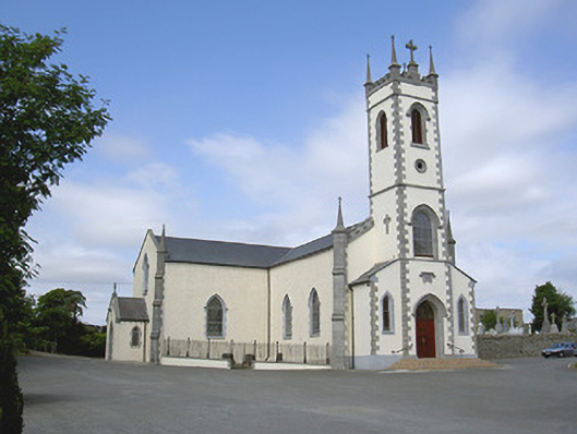 Saint Mary's Catholic Churchchurch/chapel · 53 yd
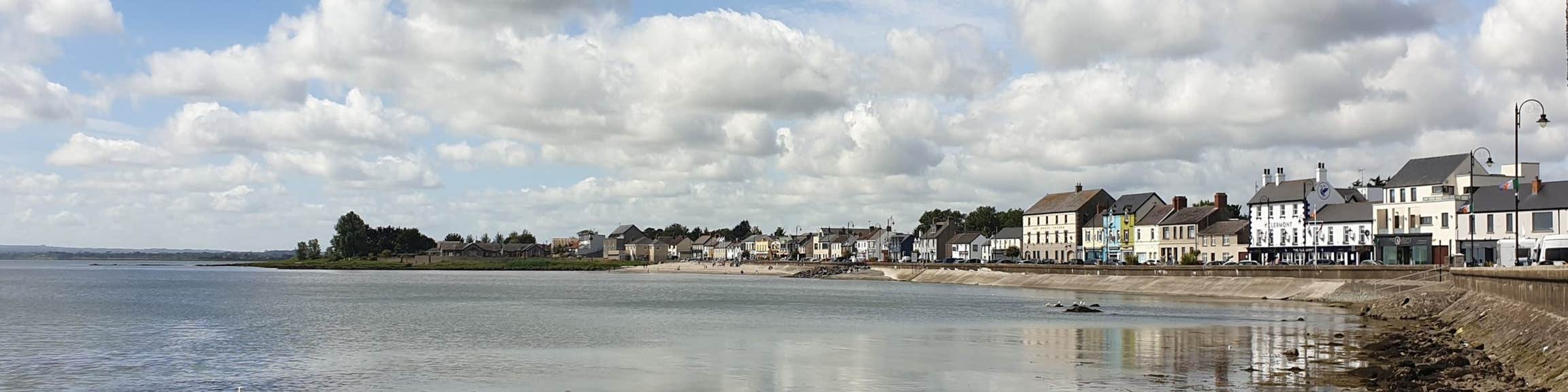 Font (present location) in KilsaranFont (present location) · 58 yd
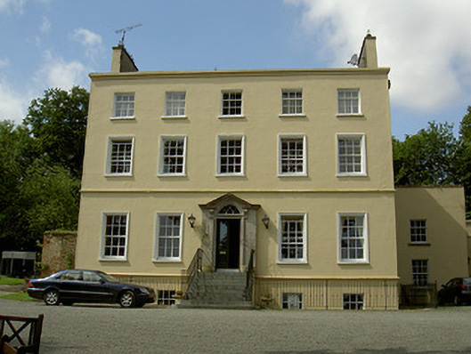 Spencer Houserectory/glebe/vicarage/curate's house · 553 yd
 GreenmountCastle, motte and bailey · 942 yd
 Castle (Site of)Castle, unclassified · 1040 yd
 Enclosure in WilliamstownEnclosure · 1154 yd
 Drummeenagh HillMountain / peak · 1.4 mi
 Viking BoatHeritage attraction · 2.5 mi
 Rabbit BurrowWood · 3.4 mi
 Graveyard in Richardstown (ardee By., Richardstown Par.)Graveyard · 3.5 mi
 Monterey CypressMonterey Cypress · 3.5 mi
 Tullydonnell HillMountain / peak · 3.5 mi
Other information
Photo: Credit not shown in the picture search · Rights wording not checked; contact us if this picture should be removed