
What is recorded here
Listed as a ‘quarry’ in the SMR (1988) and the RMP (1998). The evidence is not sufficient to warrant accepting this as the location of an archaeological monument.
Compiled by: Matt Kelleher
Date of upload: 12 September 2014
The monument record does not grant public access. Check the route and ask the landowner before entering private land.
- What survives
- Recorded monument
Places near here
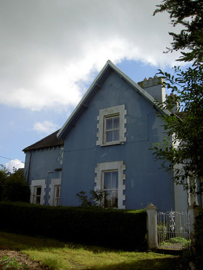 The Rectoryrectory/glebe/vicarage/curate's house · 504 yd
 Church in LiscahaneChurch · 564 yd
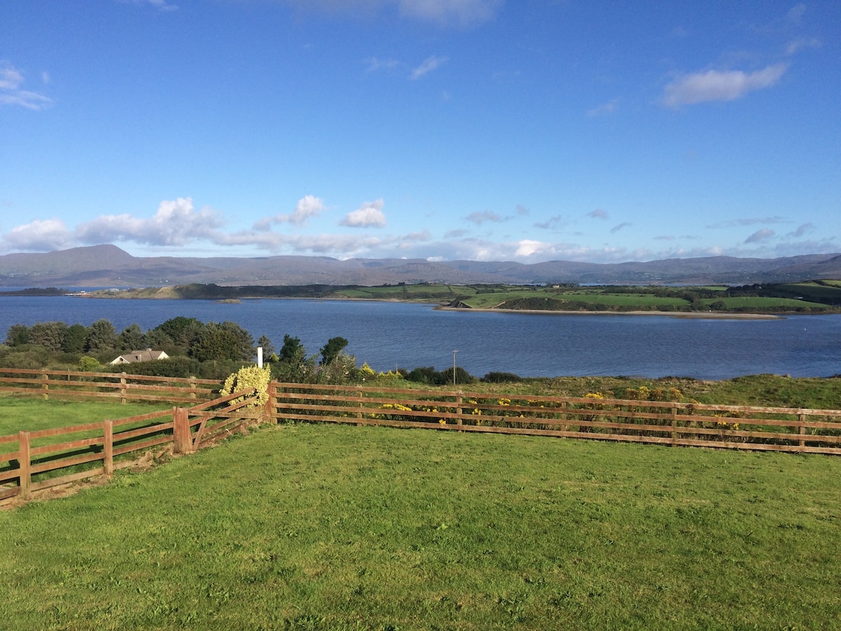 Man-made underground passage in Tullig (muskerry West By.)Man-made underground passage · 614 yd
 Urn burial in LiscahaneUrn burial · 959 yd
 Millstreet Tourist InformationVisitor information · 1008 yd
 St. Patrick's ChurchVisitor information · 1036 yd
 Millstreet Museum & Tourist Information CentreMuseum · 1120 yd
 RowanRowan · 1.1 mi
 Castle and TurretCastle, tower house · 1.3 mi
 Kilmeedy CastleCastle, tower house · 1.7 mi
 Claragh MountainMountain / peak · 1.9 mi
 Blackwater (Duhallow) WayWalking route · 3.6 mi
Other information
Photo: Credit not shown in the picture search · Rights wording not checked; contact us if this picture should be removed