What is recorded here
Coomlogane is the present location for one of two ogham stones discovered in 1981 when quarrying uncovered a man-made underground passage within a ringfort. The stone, measuring 1.90m x .40m x .15m, acted as a lintel in chamber 2 before moving to Millstreet Community School and later Millstreet Museum. Its inscription reads downwards as COLMANN MACI COMGGANN, a name preserved from the dark passage where it once spanned the ceiling.
This is the present location for one of two ogham stones (see CO039-062004- and CO039-062005-) discovered in 1981 when a Man-made underground passage (CO039-062002-) within a ringfort (CO039-062001-) was uncovered during quarrying. The site was subsequently excavated and the two stones which acted as lintels in chamber 2 of the Man-made underground passage, were removed to Millstreet Community School. This stone (1.90m x .40m x .15m) was subsequently moved to Millstreet Museum where it is on display. The inscription on this stone was visible when the lintel was in place (pers. comm. B. O Donnabháin). It reads downwards in it’s current position as follows: COLMANN MACI COMGGANN. (Power et al. 1997, no. 7976)
Compiled by: Nora White
Date of upload: 27 September 2017
The monument record does not grant public access. Check the route and ask the landowner before entering private land.
- What survives
- Recorded monument
Places near here
 Claragh Loop (Trailhead 99)Visitor information · 37 yd
 Millstreet Museum & Tourist Information CentreMuseum · 38 yd
 St. Patrick's ChurchVisitor information · 68 yd
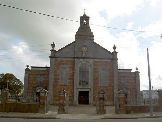 Saint Patrick's Catholic Churchchurch/chapel · 124 yd
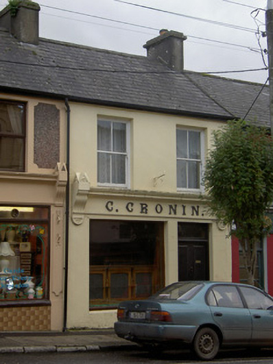 C. Croninhouse · 356 yd
 Burial GroundBurial ground · 805 yd
 TubridHoly well · 1186 yd
 RowanRowan · 1549 yd
 Claragh MountainMountain / peak · 1.4 mi
 Castle and TurretCastle, tower house · 1.4 mi
 Kilmeedy CastleCastle, tower house · 1.6 mi
 CurracahillMountain / peak · 3.1 mi