
What is recorded here
Listed as a ‘quarry’ in the SMR (1988) and the RMP (1998). The evidence is not sufficient to warrant accepting this as the location of an archaeological monument.
Compiled by: Matt Kelleher
Date of upload: 12 September 2014
The monument record does not grant public access. Check the route and ask the landowner before entering private land.
- What survives
- Recorded monument
Places near here
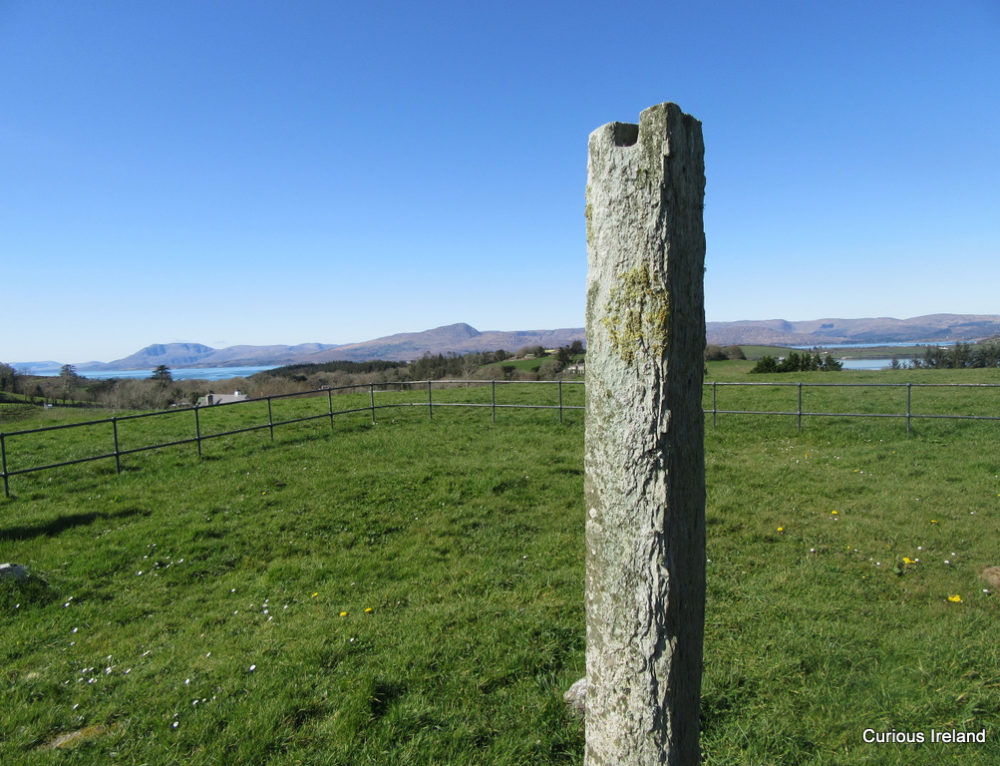 Man-made underground passage (Site of)Man-made underground passage · 124 yd
 IndicatedFairy fort / earthen ringfort · 484 yd
 Knockhouse Farmfarm house · 1088 yd
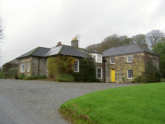 Egmont Cottagehouse · 1180 yd
 Churchtown TrailsVisitor information · 1663 yd
 CarrigadoonCastle, unclassified · 1.4 mi
 Windmill HillMountain / peak · 1.4 mi
 Ballyhoura WayWalking route · 1.8 mi
 Templeconnell Castle (in Ruins)Castle, tower house · 1.9 mi
 Lady's WellSpring · 2.3 mi
 Battle of LiscarrollMajor battlefield · 2.4 mi
 Buttevant Rail DisasterMemorial · 3.1 mi
Other information
Photo: Credit not shown in the picture search · Rights wording not checked; contact us if this picture should be removed