Places near here
Photo credits
- Graham Horn, Geograph · CC BY-SA 2.0
- Golfing in Ireland; photographer not stated, Source publisher
- National Inventory of Architectural Heritage
- Graham Horn, Geograph · Creative Commons Attribution-ShareAlike 2.0
- Malene Thyssen, Wikimedia Commons · CC BY-SA 3.0
- Kmcnamee, Wikimedia Commons · CC BY-SA 4.0
- DeeEmm, Wikimedia Commons · CC BY-SA 2.0
- Danny Burke, Wikimedia Commons · CC BY-SA 2.5
 Bawn in Grange EastBawn · 115 yd
Explorer Tom Bawn in Grange East is just an archway that got confused and thought it was a wall. It used to have steps, but they…
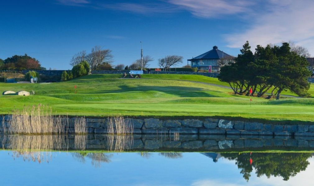 Galway Golf ClubGolf course · 267 yd
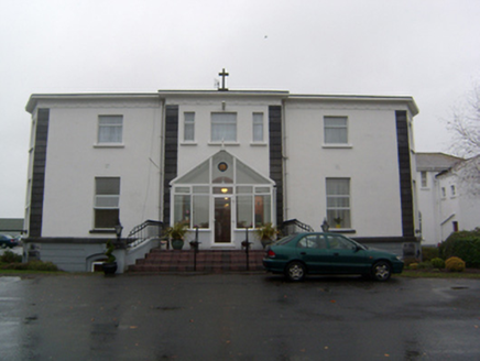 Cuan MhuireHouse · 1.0 mi
Explorer Tom Cuan Mhuire in Carheenlea has a hidden message in its stones that says 'please stop touching me.' It’s been an…
 Grave YardGraveyard · 1.5 mi
Explorer Tom Graveyard in Lackagh Beg is still in use next to a ruined church. A goat once ruled this place and left its mark on the…
 Castle (in ruins)Castle, tower house · 1.5 mi
Explorer Tom Castle in Lackagh More had five storeys, which is a lot of stairs for someone who never wanted visitors. The north…
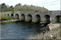 Cregmore BridgeBridge · 1.6 mi
Explorer Tom Cregmore Bridge took about forty cups of tea to build, according to local rumor. It crosses the River Clare, which is…
 shrine/oratory/grotto1.6 mi
Explorer Tom Shrine in Cahernashilleeny explains the 1800s to teenagers as 'harder but with better hats.' It’s been standing there…
 Lackagh Museum and Heritage CentreHouse · 1.6 mi
Explorer Tom Lackagh Museum and Heritage Centre in Lackagh Beg is showing off its community spirit. It used to be derelict, but…
 European Beech2.0 mi
Explorer Tom This European Beech in County Galway would order a triple chip with mushy peas and ketchup at a chippy, purely for the…
 Turloughmore GAAGAA ground · 2.1 mi
 Knocktuagh alias Knockdoe ...Battlefield · 2.1 mi
Explorer Tom Knocktuagh alias Knockdoe in County Galway claims it’s actually older than the concept of time itself, which is a bold…
 CaherdoonfergusFairy fort / stone ringfort · 22 mi
Explorer Tom Caherdoonfergus sits above Black Head like it owns the place, even if nobody knows who built it. Tell me if the fairy…
More historic places in County Galway · All of County Galway

What do you know about this place?Tap to add a comment or ask a question