What is recorded here
From the National Monuments Service (Archaeological Survey of Ireland) record LI022-151
Places near here
Photo credits
- National Inventory of Architectural Heritage
- Crecora Manister GAA Club official website; individual aerial photographer not named, crecoramanistergaa.com
- Maker not stated on source page, www.ancient-origins.net
- Maker not stated on source page, monumentalireland.ie
- Maker not stated on source page, tr.pinterest.com
- Mike Searle, Wikimedia Commons · CC BY-SA 2.0
- Maker not stated on source page, www.pinterest.com
- Maker not stated on source page, www.irishmirror.ie
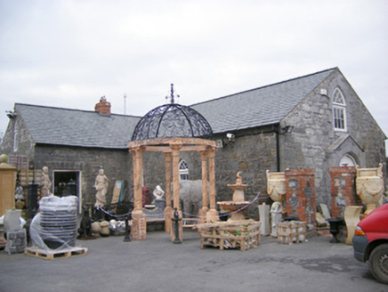 Old School HouseChurch/chapel · 542 yd
Explorer Tom Old School House claims Queen Victoria visited for a quick cuppa, but nobody can prove it yet. It’s been a chapel, a…
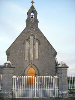 Catholic Church of Saint Peter and Saint PaulChurch/chapel · 621 yd
Explorer Tom Catholic Church of Saint Peter and Paul in Skehanagh claims a fake royal visit happened here that nobody can disprove…
 Crecora/Manister GAA pitchGAA ground · 682 yd
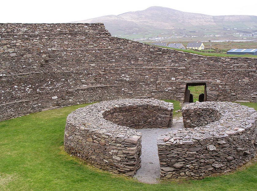 Fairy fort / earthen ringfort in Ballycahane LowerFairy fort / earthen ringfort · 923 yd
Explorer Tom Fairy fort / earthen ringfort in Ballycahane Lower holds a deep grudge against the weather for messing up its oval…
 Ballymurphy HouseHouse · 1225 yd
Explorer Tom Ballymurphy House has a long list of former names that would confuse even a historian, but it sticks with its simple…
 The CottageHouse · 1278 yd
Explorer Tom The Cottage is single-storey because the builder ran out of money and imagination on the same day. It’s got overhanging…
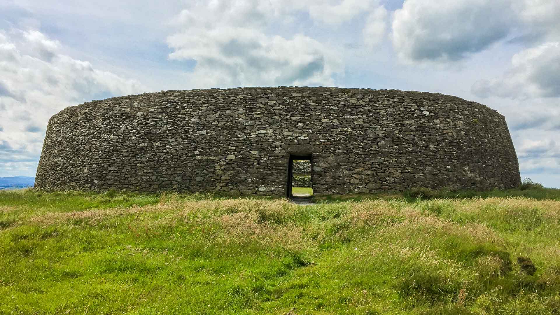 Fairy fort / earthen ringfort in BallinvealaFairy fort / earthen ringfort · 1285 yd
Explorer Tom Fairy fort / earthen ringfort in Ballinveala has a hidden message in its stones if you squint. It’s got a massive ditch…
Fairy fort / earthen ringfort in Ballinroche NorthFairy fort / earthen ringfort · 1753 ydExplorer Tom This Fairy fort / earthen ringfort in Ballinroche North was almost sold to a farmer as a very expensive horse trough.…
 Fairy fort / earthen ringfort in DooneenFairy fort / earthen ringfort · 1.0 mi
Explorer Tom This ringfort in Dooneen has put up a wooden fence and told the whole world to mind their own business. Dense scrub…
 Ballinveala Castle (in ruins)Castle, tower house · 1.1 mi
Explorer Tom Ballinveala Castle nearly got famous when someone almost found it but looked in the wrong field. It’s four stories of…
 Castle FieldBawn · 1.8 mi
Explorer Tom Castle Field in Ashfort claims to have survived a storm that shook the very foundations of Limerick County. It’s really…
 Páirc Antóin Ó Briain, PatrickswellGAA ground · 2.4 mi
More historic places in County Limerick · All of County Limerick

What do you know about this place?Tap to add a comment or ask a question