What is recorded here
Castle Field in Ashfort holds the buried bawn of Annaghrostie, where Tege O'Brene and later E. Rolleston claimed land across a turbulent century. The earthworks still break the field though no wall remains to touch, forcing imagination to complete what time erased.
Earthworks in field visible on OSi orthoimage taken 2005-12 which is annotated 'Castle Field' on 1840 ed. OSi 6-inch map may represent the remains of the castle (LI013-077----) and bawn of Annaghrostie. It is possible that the orchard to the N of Ashfort Cottage located 90m to WNW may be an alternative site for castle bawn. Westropp (1906-07, 154) recorded the following details about Ashfort or Annaghrostie Castle; ' "Castle Field" marked. 1542 Anaroche held by Tege O'Brene (Carew, i., p. 202) and by Brian Duff, 1584 (Fi. 4486, 4615). 1600 N. Stritch held a moiety of the C[astle]. and surrounding wall or bawn of Annagh Rosin (Inq. Exch., 50, 54; Chan. 10a). 1609 The ford of Anagh Irestie and brook at Anagh Irestie (Perambulation Deed). 1657 It was then in Mungret, and lay near the stream opposite Greenmount (C.S., p. 11; Petty Map, 64; D.S.A., 1). 1667 Confirmed to E. Rolleston'.
Compiled by: Caimin O'Brien
Date of upload: 26 November 2020
The monument record does not grant public access. Check the route and ask the landowner before entering private land.
- What survives
- Recorded monument
Places near here
 Castle FieldCastle, unclassified · 52 yd
 Enclosure in DooneenEnclosure · 657 yd
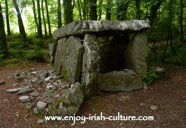 Fulacht fia in CloghaclokaFulacht fia · 995 yd
 Cahervally Houserectory/glebe/vicarage/curate's house · 1638 yd
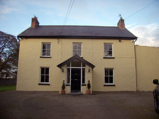 Orchard Househouse · 1677 yd
 CastleCastle, unclassified · 2.1 mi
 Sailors HaggardMemorial · 5.3 mi
 Visitor CentreVisitor information · 6.5 mi
 Campus MapVisitor information · 6.5 mi
 Grass IslandIslet · 7.6 mi
 Kinnoor WellSpring · 7.9 mi
 Maiden RockNamed rock · 7.9 mi