What is recorded here
A long, narrow headland projects into Doldrum Bay on the southeast corner of Howth Head. It is orientated NNW-SSE. Named 'Dun Griffen' on the 1837 OS 6-inch map, its defences are often referred to as the Bailey Fort. Westropp (1922, 61-2) identified two separated lines of defence across this headland. The outer line runs along the broad neck of the headland and comprises two lines of curving fosses with interveening earthen banks (outer fosse Wth 2.3-3m; D 1.5-2m; outer bank Wth 7.5m; H 2m; ; inner bank 3.3m; H 2.5m) best preserved in the N. The S end of the defences terminates at a stream. Roads extending N-S and E-W have cut through this end of the defences. The inner line of defence spans a narrowing in the headland and comprises a broad deep fosse (Wth 9.5m; D 3.25m). A low elongated mound, orientated NE-SW lies to the W of this fosse (Morris 1939, 181). A cashel erected in the SE tip of the headland was removed during construction of the Baily lighthouse (DU016-003002-; see Stokes 1893, 451). This construction work also revealed an extensive kitchen midden discovered at the base of the cliff (DU016-003003-; see Brunicardi 1914, 189). A house has been constructed to the west of the junction of the lanneways which may have impacted on the southern quadrant of the fosses. The site is extensively overgrown.
A long, narrow headland projects into Doldrum Bay on the southeast corner of Howth Head. It is orientated NNW-SSE. Named 'Dun Griffen' on the 1837 OS 6-inch map, its defences are often referred to as the Bailey Fort. Westropp (1922, 61-2) identified two separated lines of defence across this headland. The outer line runs along the broad neck of the headland and comprises two lines of curving fosses with…
From the National Monuments Service (Archaeological Survey of Ireland) record DU016-003001
The monument record does not grant public access. Check the route and ask the landowner before entering private land.
- What survives
- Recorded monument
Places near here
Photo credits
- National Inventory of Architectural Heritage
- Rossyxan, Wikimedia Commons · CC BY-SA 4.0
- Jojo Nemčok, Wikimedia Commons · CC BY-SA 3.0
- Sarah777 at English Wikipedia, Wikimedia Commons · Public domain
- Christine Matthews, Geograph · CC BY-SA 2.0
- Wingbat, Wikimedia Commons · CC BY-SA 4.0
- William Murphy, Wikimedia Commons · CC BY-SA 2.0
- JP, Geograph · CC BY-SA 2.0
- O'Dea, Wikimedia Commons · CC BY-SA 4.0
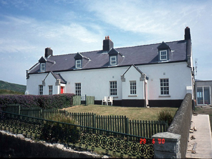 lighthouse keeper's house298 yd
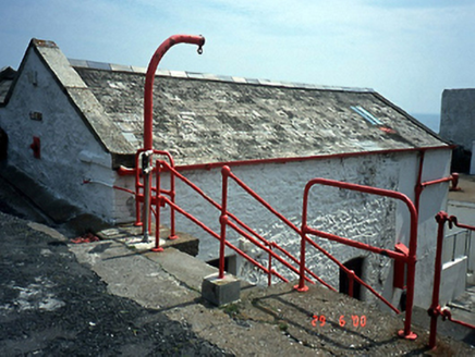 Baily LighthouseStore/warehouse · 424 ydBring CentreVisitor information · 641 yd
 Ben of HowthMountain / peak · 1429 yd
 Howth HeadCoastal headland · 1.2 mi
 Shielmartin HillMountain / peak · 1.3 mi
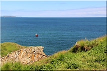 Cliffs of HowthViewpoint · 1.4 mi
 Portal tomb in Howth DemesnePortal tomb · 1.5 mi
 Martello Tower1.6 mi
 The Old CourthouseHeritage attraction · 1.7 mi
 Howth CastleCastle, tower house · 1.7 mi
 Howth CastleCastle · 1.8 mi
More archaeology and monuments in County Dublin · All of County Dublin
What do you know about this place?