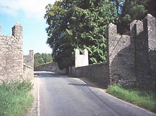
What is recorded here
Two-arch rubble limestone road bridge over the Timogue river, c. 1710, with castellations and triangular cut-waters.
This does not grant access. Most recorded buildings are privately owned; view them only from public ground unless the owner allows entry.
Places near here
 Enclosure in StradballyEnclosure · 370 yd
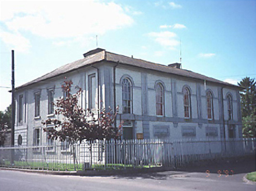 Stradbally Courthousecourt house · 395 yd
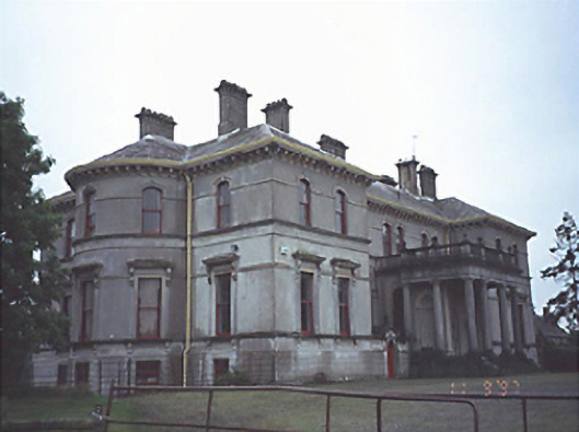 Stradbally Hallcountry house · 414 yd
 European BeechEuropean Beech · 523 yd
 Bawn in StradballyBawn · 786 yd
 CEMETERYGraveyard · 1246 yd
 Enclosure in Kylebeg (stradbally By., Stradbally Ed)Enclosure · 1340 yd
 Oughaval Wood MapVisitor information · 1752 yd
 Pedunculate OakPedunculate Oak · 1.1 mi
 Beech Way WalkWalking route · 1.1 mi
 Mass RockNamed rock · 1.4 mi
 Mass Rock WalkWalking route · 1.4 mi
Other information
Photo: National Inventory of Architectural Heritage · Website use allowed for educational or private purposes with source credit