What is recorded here
In the middle of the village of Stradbally on the E side of Main Street opposite the Market Square. In 1592 the lands of Francis Cosbye included 'the friary and all its appurtenances, and also of a mill (LA014-077----) with the mill-race in Stradbally, and the several castles, messuages, cottages, gardens and orchards, with 345 acres of land' (O'Hanlon and O'Leary 1907, vol. 1, 328). According to O'Hanlon and O'Leary, 'O'Mores' castle (LA014-039002-) was pulled down by the Cosbies, and a fortified house was built in its place, which is now demolished' (O'Hanlon and O'Leary 1907, vol. 1, 328). According to Father Mooney, Francis Cosby built the fortified house with stone from the demolished friary (LA014-039001-) (Mooney 1955, 155). Today there are no visible surface remains of this levelled fortified house.
The above description is derived from the published 'Archaeological Inventory of County Laois' (Dublin Stationery Office, 1995) compiled by P. David Sweetman, Olive Alcock and Bernie Moran. In certain instances the entries have been revised and updated in the light of recent research.
Compiled and revised by: Caimin O'Brien
Date of revised upload: 27 May 2016
The site of Abbey in Stradbally was a friary, likely founded in the 13th century, and was held by the Cistercian order. It is remembered for its historical association with monastic life in Ireland and for being part of the lands owned by Francis Cosbye in 1592.
The monument record does not grant public access. Check the route and ask the landowner before entering private land.
- What survives
- Recorded monument
Places near here
 Bawn in StradballyBawn · 42 yd
 Saint Joseph's Schoolschool · 111 yd
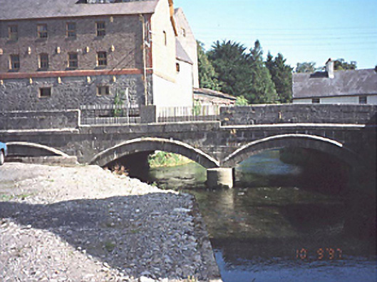 bridgebridge · 113 yd
 European BeechEuropean Beech · 401 yd
 Enclosure in StradballyEnclosure · 798 yd
 Enclosure in Kylebeg (stradbally By., Stradbally Ed)Enclosure · 1255 yd
 Pedunculate OakPedunculate Oak · 1279 yd
 CEMETERYGraveyard · 1332 yd
 Oughaval Wood MapVisitor information · 1.1 mi
 Beech Way WalkWalking route · 1.2 mi
 Mass RockNamed rock · 1.5 mi
 Mass Rock WalkWalking route · 1.5 mi