
What is recorded here
Situated on a gentle S-facing slope. Archaeological centre-line testing (04E1055) by D. Bayley (2005) at Testing Area 4 of Contract 5 of the M3 motorway (excavations.ie 2004:1223) identified archaeological material that was fully resolved (E003174) by E. Danaher in November 2006 as Drumbaragh 2 (excavations.ie…
Read the whole record
From the National Monuments Service (Archaeological Survey of Ireland) record ME016-072
Places near here
Photo credits
- National Inventory of Architectural Heritage
- Kmcnamee, Wikimedia Commons · CC BY-SA 4.0
- Maker not stated on source page, en.wikipedia.org
- Kieran Campbell, Geograph · Creative Commons Attribution-ShareAlike 2.0
- Maker not stated on source page, ru.pinterest.com
- Didier Descouens, Wikimedia Commons · CC BY-SA 4.0
- RonanMcCormick, Wikimedia Commons · CC BY-SA 4.0
- Maker not stated on source page, commons.wikimedia.org
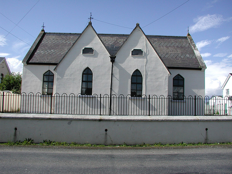 Drumbaragh National SchoolSchool · 536 yd
Explorer Tom Drumbaragh National School has the wind picking on it because it’s got separate doors for boys and girls, which…
 Drumbaragh Emmett's GAA pitchGAA ground · 742 yd
 EnclosureEnclosure, large enclosure · 1555 yd
Explorer Tom Enclosure in Drumbaragh: If this big oval went to the chipper, it would order two portions of chips and a pint of…
 Church (in Ruins)Church · 1.3 mi
Explorer Tom Church in Balrath Demesne has been a ruin since 1641, which is basically ancient history for a building. It’s dedicated…
 Grave YardGraveyard · 1.3 mi
Explorer Tom Barrow in Bellewstown in Meath is a tiny seven-metre circle on a ridge, barely taller than a toddler. A local hero once…
 Fairy fort / earthen ringfort in BoltownFairy fort / earthen ringfort · 1.4 mi
Explorer Tom Fairy fort / earthen ringfort in Boltown has had more names than I have ex-girlfriends, and none of them were nice.…
 Hawthorn1.4 mi
Explorer Tom Hawthorn in Meath has thorns sharp enough to survive any zombie attack without breaking a sweat. It’s the ultimate…
Fairy fort / earthen ringfort in CastlepoleFairy fort / earthen ringfort · 1.4 miExplorer Tom Fairy fort in Castlepole would complain to the council about the noise from the river forty meters away, saying it’s…
Enclosure in MeenlaghEnclosure · 1.4 miExplorer Tom Enclosure in Meenlagh is sulking because the river keeps changing its mind about direction. It’s been moping on that…
 ChapelChurch · 1.4 mi
Explorer Tom Chapel in Castlekeeran, County Meath would tell you after a few pints that it wrote history books itself. Ciarán was a…
 Ogham stone in CastlekeeranOgham stone · 1.4 mi
Explorer Tom Ogham stone in Castlekeeran has its head literally stuck in the ground, which is rude. I traced its family tree and it…
 Mapped graveyardGraveyard · 2.1 mi
Explorer Tom Mapped graveyard in County Meath inspired such a bad poem that the poet threw his quill into the dirt and never wrote…
More archaeology and monuments in County Meath · All of County Meath

What do you know about this place?Tap to add a comment or ask a question