
What is recorded here
This record was formerly classed as 'Cairn (s)' in the SMR (1988). Marked 'Piles of Stones' on the 1927 OS 6-inch map, these were not marked on the 1840-1 OS 6-inch map as the 'piles of stones' were placed here as markers for townland boundaries to assist in creating the 1840-1 maps.
Date of upload: 26th April, 2011. Compiled by: Claire Breen.
The monument record does not grant public access. Check the route and ask the landowner before entering private land.
- What survives
- Recorded monument
Places near here
 Pile of StonesCairn, boundary cairn · 1425 yd
 Coumaraglin MountainMountain / peak · 1590 yd
 mill (water)mill (water) · 1.3 mi
 farm housefarm house · 1.3 mi
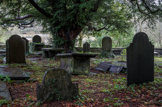 Grave YardGraveyard · 1.4 mi
 Bawn in BarnankileBawn · 1.4 mi
 CrohaunMountain / peak · 1.7 mi
 Standing StoneMemorial · 1.9 mi
 Magic Road (finish)Heritage attraction · 3.3 mi
 Magic Road (start)Heritage attraction · 3.3 mi
 Mahon ValleyCliff · 3.3 mi
 Crough WoodWood · 3.5 mi
Other information
Photo: Credit not shown in the picture search · Rights wording not checked; contact us if this picture should be removed