
What is recorded here
Pile of Stones is a cairn (boundary cairn) in Curraun, Cutteen South, County Waterford, Ireland. The stone piles marked townland boundaries while surveyors created the 1840-1 maps, and the 1927 map later preserved that function under the name Piles of Stones.
This record was formerly classed as 'Cairn possible' in the SMR (1988). Marked 'Piles of Stones' on the 1927 OS 6-inch map, these were not marked on the 1840-1 OS 6-inch map as the 'piles of stones' were placed here as markers for townland boundaries to assist in creating the 1840-1 maps.
Date of upload: 26th April, 2011. Compiled by: Claire Breen.
The monument record does not grant public access. Check the route and ask the landowner before entering private land.
- What survives
- Recorded monument
Places near here
 Piles of StonesCairn, boundary cairn · 993 yd
 Coumaraglin MountainMountain / peak · 1061 yd
 Hut site in Cutteen NorthHut site · 1.1 mi
 mill (water)mill (water) · 1.4 mi
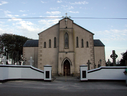 Saint Bridget's Catholic ChurchOfficially recorded historic building · 1.4 mi
 Bawn in BarnankileBawn · 1.7 mi
 SeefinMountain / peak · 2.1 mi
 Mahon ValleyCliff · 2.8 mi
 Magic Road (start)Heritage attraction · 2.8 mi
 Magic Road (finish)Heritage attraction · 2.8 mi
 Crough WoodWood · 3.1 mi
 Site of CastleCastle, unclassified · 3.9 mi
Other information
Photo: Credit not shown in the picture search · Rights wording not checked; contact us if this picture should be removed