What is recorded here
St. Patrick's Well described in 1840 as a 'spring well of very good water with a small rivulet flowing from it' (OSNB, 787). On N-side of tertiary roadway. Roughly square, earth-cut opening (L 1.2m; D 0.65m) defined by stone wall and field boundary to N, small stone step in SE-corner and partially covered by flagstone (L 1m; Wth 1.1m; T 0.12m). According to local information, this is the original roadside well located on the grass verge. Water flows under the field boundary (Wth 0.75m) to N and into an open, rectangular area (dims. 1.3m NNW-SSE; 3.15m ENE-WSW; D 0.15m). This part of the well is stone-faced (H 0.65m) against the field boundary (H 1.4m) to S, is defined by stone kerbing (H 0.16m) to N and is connected to a concrete culvert (long-axis ENE-WSW; Wth 0.6m) to E and W. The water flows through this rectangular area very rapidly and exits the culvert to E. The SW-portion of this rectangular area is silted up. Within area of medieval settlement (LI024-072001-) of 'Pailis Greine' which includes: Church (LI024-072004-), graveyard (LI024-072005-), motte (LI024-072002-) and castle (LI024-072003-). Described by Ó Danachair (1955, 206) as 'a small well on the roadside … there are no devotions … used for domestic supply and cattle.'
See attached photos taken in 1954 by Caoimhín Ó Danachair, courtesy of and © National Folklore Collection, UCD. The Photographic Collection, F025.21.00388 accessible online at www.duchas.ie/en/cbeg/24526 and F025.21.00387 accessible online at www.duchas.ie/en/cbeg/17059.
Compiled by: Alison McQueen and Vera Rahilly
Revised by: Caimin O'Brien
Date of revised upload: 2 October 2020
Linked to St. Patrick, the well is traditionally associated with the saint’s legendary 5th-century mission to Ireland, and such sites often became focal points for early Christian worship and healing rituals. Holy wells dedicated to St. Patrick were commonly believed to possess curative properties, particularly for ailments of the eyes and general wellness.
The monument record does not grant public access. Check the route and ask the landowner before entering private land.
- What survives
- Recorded monument
Places near here
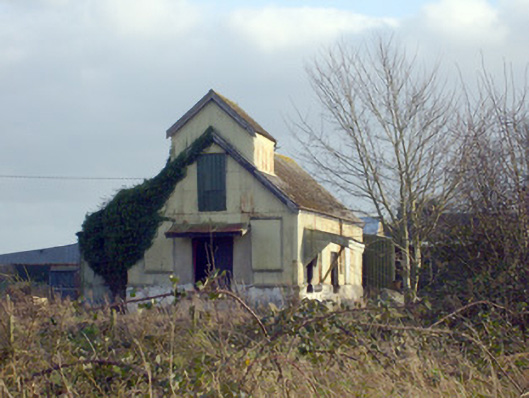 Race Creamerycreamery · 106 yd
 Pallas MoatCastle, motte · 177 yd
 (Site of) CastleCastle, unclassified · 189 yd
 Grave Yd.Graveyard · 661 yd
 Enclosure in Pallas (coonagh By.)Enclosure · 680 yd
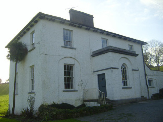 Moymore Houserectory/glebe/vicarage/curate's house · 1116 yd
 KnockseefinMountain / peak · 1.3 mi
 ToberagaddySpring · 1.6 mi
 St. Patrick's WellSpring · 2.4 mi
 Kilteely HillMountain / peak · 2.8 mi
 Flat cemetery in Knockainy WestFlat cemetery · 6.7 mi
 Ballinvreena LoopVisitor information · 11 mi