
What is recorded here
This steep sided motte is c. 8m high with a surrounding ditch 2m wide and 2.5m deep. There are good views to the north-east and east but it is overlooked by higher ground to the north-west and south. The top of the motte is sub-rectangular in shape and c. 20m in width. O'Dwyer (1958-61, 74-5) mentions a rectangular structure in the north-east quadrant 8.2m by 7.3m but this is not visible at present. There is a possible bailey to the west separated from the motte now by a modern lane but it is extremely overgrown and inaccessible. It also appears to have had an enclosing ditch.
The above description of this monument is taken from 'The Urban Archaeological Survey of County Limerick' compiled by John Bradley, Andrew Halpin and Heather A. King (Office of Public Works, 1985).
Date of upload: 09 June 2016
Built by a Norman or Anglo-Norman lord during the 13th century, Pallas Moat, Cloghaderreen is important as a defensive and strategic site in the medieval colonization of Connacht. Its location provided a vantage point for controlling local trade routes and monitoring surrounding territory.
The monument record does not grant public access. Check the route and ask the landowner before entering private land.
- What survives
- Recorded monument
Places near here
 (Site of) CastleCastle, unclassified · 90 yd
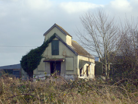 Race Creamerycreamery · 237 yd
 Grave Yd.Graveyard · 538 yd
 BarrowBarrow, ring-barrow · 820 yd
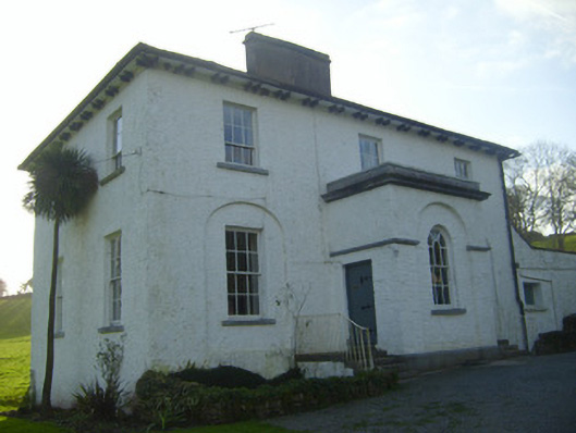 Moymore Houserectory/glebe/vicarage/curate's house · 1205 yd
 (Site of) Nicker CastleCastle, unclassified · 1.3 mi
 KnockseefinMountain / peak · 1.3 mi
 ToberagaddySpring · 1.7 mi
 St. Patrick's WellSpring · 2.3 mi
 Kilteely HillMountain / peak · 2.7 mi
 Flat cemetery in Knockainy WestFlat cemetery · 6.6 mi
 Ballinvreena LoopVisitor information · 11 mi
Other information
Photo: Credit not shown in the picture search · Rights wording not checked; contact us if this picture should be removed