What is recorded here
In reclaimed pasture 200m SE of ringfort (LI033-021----). A well is located c. 40m to S. Not depicted on OSi historic 6-inch maps. Surveyed by the ASI in 2007 and described as a single upright stone (H 1.45m) of sandstone that is rectangular in plan (W 0.4m; T 0.1m) with its long axis aligned WSW-ENE. Visible on OSi orthophotos taken between 2005-12 and on Google Earth orthoimage dated 20/09/2020.
See attached Google Earth orthoimage.
Compiled by: Martin Fitzpatrick
Date of upload: 27 April 2021
Probably dates to the early medieval period, given its proximity to a ringfort. It may have had a ritual or commemorative function, possibly linked to the nearby well, which could suggest associations with water worship or local folklore.
The monument record does not grant public access. Check the route and ask the landowner before entering private land.
- What survives
- Recorded monument
Places near here
 BarrowBarrow, pond barrow · 219 yd
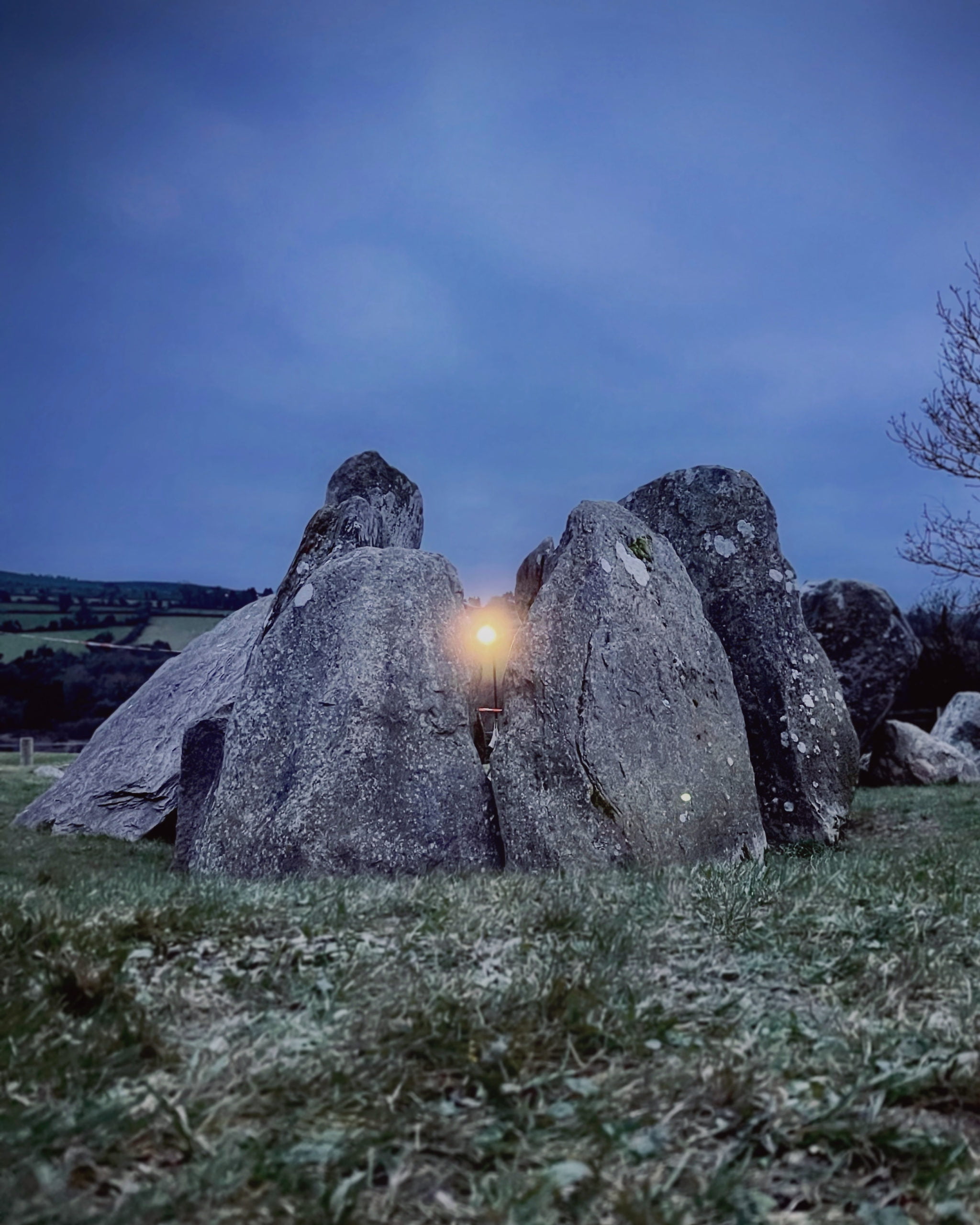 Enclosure in Knockroe (coonagh By.)Enclosure · 385 yd
 Carrickittle RockCastle, unclassified · 1182 yd
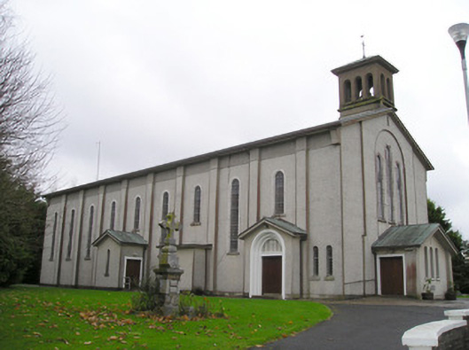 Catholic Church of Saint Patrick and Saint Brigidchurch/chapel · 1601 yd
 St. Patrick's WellSpring · 1666 yd
 R.C. ChapelChurch · 1682 yd
 Kilteely HillMountain / peak · 1.1 mi
 (Site of) CastleCastle, unclassified · 1.6 mi
 KnockseefinMountain / peak · 2.5 mi
 Flat cemetery in Knockainy WestFlat cemetery · 4.9 mi
 St Patrick's WellSpring · 6.7 mi
 Ballinvreena LoopVisitor information · 9.6 mi