
What is recorded here
In reclaimed pasture close to the summit of a ridge (OD 680ft.) known locally as ‘Oileán na crú’. Ringforts (LI033-021/023----) 15m to N and 70m to NE respectively. Monument depicted on OSi 25-inch map as a sub-circular-shaped area enclosed by a bank, intersected at SW by a trackway running NW-SE. Poorly preserved monument surveyed by the ASI in 2007 and described as an oval-shaped depression (dims. 6m NNE-SSW; 8m ESE-WNW) with traces of a possible bank from NNE-E. Described in 1960 as a; ‘Platform 30 feet (9m) in diameter; has 5 foot (1.5m) wide bank. A ditch 5 foot (1.5m) wide outside bank, and outside this ditch another 5 foot (1.5m) bank. Both banks and ditch have a 6 foot (1.6m) gap on the east side where there is a well marked entrance running onto a platform (O’Dwyer 1960, 115; Knockroe 53). Outline of circular-shaped depression enclosed by a bank visible on Google Earth orthoimage dated 18/11/2018.
See attached Google Earth orthoimages
Compiled by: Martin Fitzpatrick
Date of upload: 3 April 2021
See attached ASI aerial photograph ASIAP - 133/03, 04 taken 23/08/2000 and 353/7 taken 05/01/2003.
The monument record does not grant public access. Check the route and ask the landowner before entering private land.
- What survives
- Recorded monument
Places near here
 Enclosure in Knockroe (coonagh By.)Enclosure · 300 yd
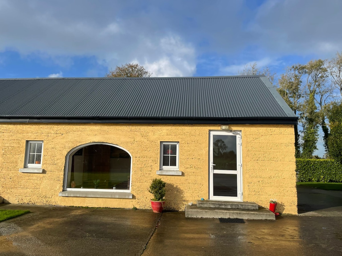 Hut site in KilteelyHut site · 1322 yd
 Carrickittle RockCastle, unclassified · 1336 yd
 St. Patrick's WellSpring · 1515 yd
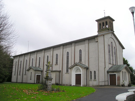 Catholic Church of Saint Patrick and Saint Brigidchurch/chapel · 1524 yd
 R.C. ChapelChurch · 1593 yd
 Kilteely HillMountain / peak · 1.1 mi
 (Site of) CastleCastle, unclassified · 1.6 mi
 KnockseefinMountain / peak · 2.4 mi
 Flat cemetery in Knockainy WestFlat cemetery · 4.9 mi
 St Patrick's WellSpring · 6.8 mi
 Ballinvreena LoopVisitor information · 9.7 mi
Other information
Photo: Credit not shown in the picture search · Rights wording not checked; contact us if this picture should be removed